Reading Bridge, Reading
Map
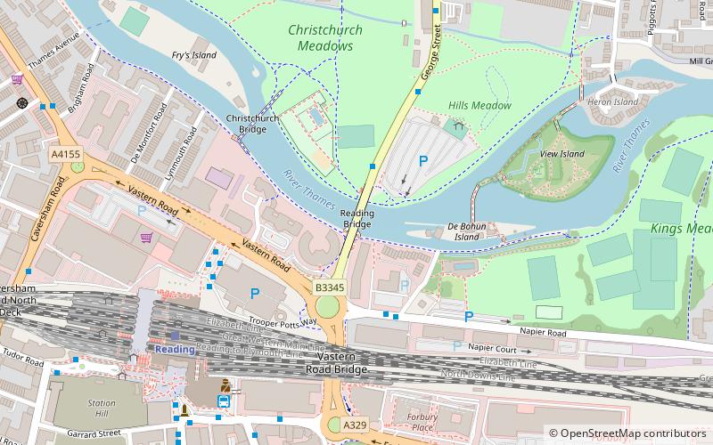
Map

Facts and practical information
Reading Bridge is a road bridge over the River Thames at Reading in the English county of Berkshire. The bridge links the centre of Reading on the south bank with the Lower Caversham area of the cross-river suburb, and former village, of Caversham on the north bank. It crosses the river a short way above Caversham Lock. ()
Opened: 1923 (103 years ago)Height: 17 ftCoordinates: 51°27'39"N, 0°58'5"W
Day trips
Reading Bridge – popular in the area (distance from the attraction)
Nearby attractions include: Broad Street, Queen Victoria Street, Union Street, John Lewis.
Frequently Asked Questions (FAQ)
Which popular attractions are close to Reading Bridge?
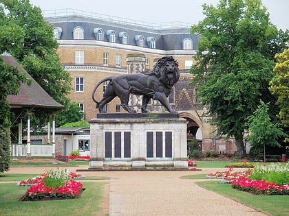
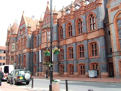
Nearby attractions include Christchurch Bridge, Reading (4 min walk), View Island, Reading (6 min walk), Reading Museum, Reading (7 min walk), Maiwand Lion, Reading (7 min walk).
How to get to Reading Bridge by public transport?
The nearest stations to Reading Bridge:
Train
Bus
Train
- Reading (6 min walk)
- Reading West (28 min walk)
Bus
- RailAir Lounge (6 min walk)
- Reading Station • Lines: Ra1 (7 min walk)


