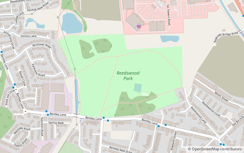
Reedswood Park, Walsall
Map
Facts and practical information
Reedswood Park is a public park situated in Walsall, West Midlands, England. ()
Elevation: 469 ft a.s.l.Coordinates: 52°35'36"N, 2°0'12"W
Getting there by public transportation
Public transportation stops near this location
- Bus
- Train
 Bus
Bus
- Calculate routeReedswood Way / Sainsburys 7 min walk
- Calculate routeStephenson Ave / Birchills Junction 11 min walk
- Calculate routeGreen Lane / Rayboulds Bridge Rd 11 min walk
- Calculate routeWalsall 26 min walk
Day trips


Frequently Asked Questions (FAQ)
Which popular attractions are close to Reedswood Park?
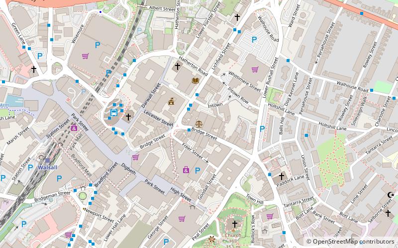
Nearby attractions include Birchills Junction, Walsall (12 min walk), St Andrew's Church, Walsall (13 min walk), Walsall Canal, Walsall (19 min walk), Walsall Local History Centre, Walsall (21 min walk).
How to get to Reedswood Park by public transport?
The nearest stations to Reedswood Park:
Bus
Train
Bus
- Reedswood Way / Sainsburys • Lines: 69 (7 min walk)
- Stephenson Ave / Birchills Junction • Lines: 69 (11 min walk)
Train
- Walsall (26 min walk)