Poringland
Map

Map

Facts and practical information
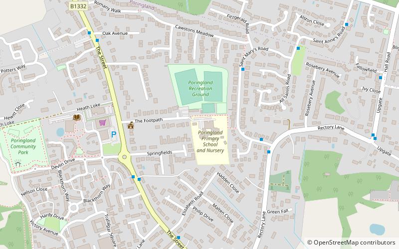
Poringland is a village in the district of South Norfolk, England. It lies 5 miles south of Norwich city centre and 10 miles north of Bungay. Its population has rapidly grown in the past 50 years. It covers an area of 6.32 km2 and had a population of 3,261 living in 1,403 households at the 2001 census, the population increasing to 3,802 at the 2011 Census. ()
Location
England
ContactAdd
Social media
Add
Day trips
Poringland – popular in the area (distance from the attraction)
Nearby attractions include: Carrow Road, Whitlingham Marsh, The Playbarn, Danby Wood.


