Chase Cross, Romford

Map
Facts and practical information
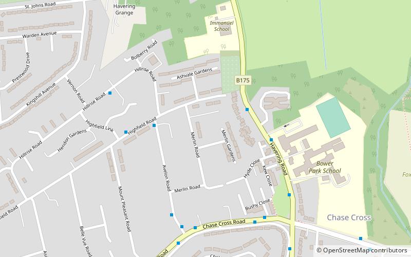
Chase Cross is a district of the London Borough of Havering in London, England. Chase Cross lies 0.8 miles east of Collier Row, 15 miles northeast of Charing Cross and just under 2 miles north of Romford. The name is thought to come from its position as a crossroads in the chase or Hainault Forest. The forest was cleared for agriculture in the 1850s, before being developed for housing in the 1930s. ()
Coordinates: 51°36'22"N, 0°10'36"E
Address
Havering (Havering Park)Romford
ContactAdd
Social media
Add
Day trips
Chase Cross – popular in the area (distance from the attraction)
Nearby attractions include: Havering Country Park, Raphael Park, Bedfords Park, Gidea Park.
Frequently Asked Questions (FAQ)
Which popular attractions are close to Chase Cross?
Nearby attractions include Havering Country Park, London (16 min walk), Bedfords Park, London (19 min walk), Rise Park, Romford (19 min walk).
How to get to Chase Cross by public transport?
The nearest stations to Chase Cross:
Bus
Bus
- Bower Park School • Lines: 375 (3 min walk)
- Highfield Road • Lines: 175 (4 min walk)


