Earlham Street Market, London
Map
Map

Facts and practical information
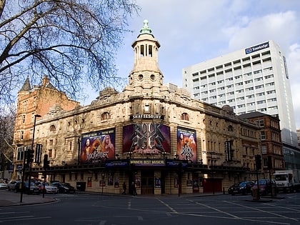
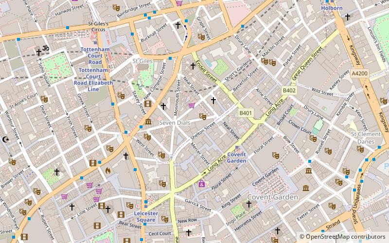
Earlham Street Market is a street market in situated in the Seven Dials area of Covent Garden on a short road between Shaftesbury Avenue and Monmouth Street. Licences to trade are issued by Camden London Borough Council. ()
Coordinates: 51°30'50"N, 0°7'34"W
Day trips
Earlham Street Market – popular in the area (distance from the attraction)
Nearby attractions include: Neal's Yard, Royal Opera House, Foyles, Arthur Beale.
Frequently Asked Questions (FAQ)
Which popular attractions are close to Earlham Street Market?
Nearby attractions include Donmar Warehouse, London (1 min walk), Cambridge Theatre, London (1 min walk), Seven Dials, London (1 min walk), Neal's Yard, London (2 min walk).
How to get to Earlham Street Market by public transport?
The nearest stations to Earlham Street Market:
Metro
Bus
Train
Ferry
Metro
- Covent Garden • Lines: Piccadilly (3 min walk)
- Leicester Square • Lines: Northern, Piccadilly (5 min walk)
Bus
- Cambridge Circus • Lines: 38, N38 (4 min walk)
- St Giles High Street • Lines: N242 (4 min walk)
Train
- Charing Cross (12 min walk)
- London Waterloo (25 min walk)
Ferry
- Embankment • Lines: Green Tour, Rb1, Rb1X, Rb2, Rb6 (14 min walk)
- Festival Pier • Lines: Green Tour (16 min walk)

 Tube
Tube
