Hippodrome, London
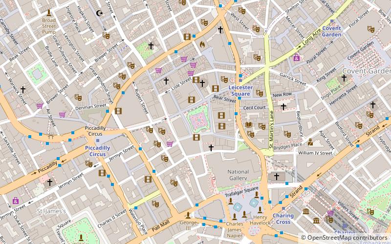
Map
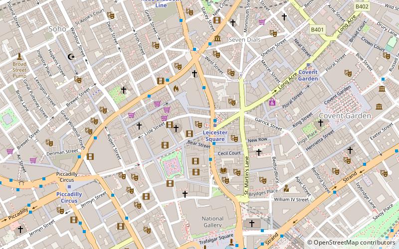
Map

Facts and practical information
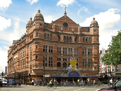
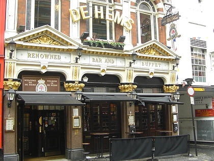
The Hippodrome is a building on the corner of Cranbourn Street and Charing Cross Road in the City of Westminster, London. The name was used for many different theatres and music halls, of which the London Hippodrome is one of only a few survivors. Hippodrome is an archaic word referring to places that host horse races and other forms of equestrian entertainment. ()
Opened: 1900 (126 years ago)Architectural style: Art NouveauCoordinates: 51°30'41"N, 0°7'44"W
Day trips
Hippodrome – popular in the area (distance from the attraction)
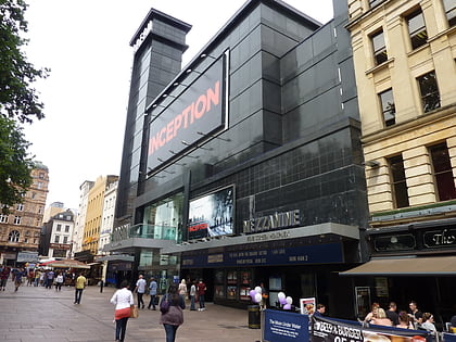
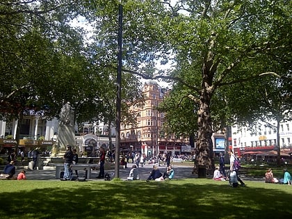
Nearby attractions include: Odeon Luxe Leicester Square, Empire, Leicester Square, Palace Theatre.
Frequently Asked Questions (FAQ)
Which popular attractions are close to Hippodrome?
Nearby attractions include Charing Cross Road, London (1 min walk), West End theatre, London (1 min walk), Notre Dame de France, London (2 min walk), Wyndham's Theatre, London (2 min walk).
How to get to Hippodrome by public transport?
The nearest stations to Hippodrome:
Metro
Bus
Train
Ferry
Metro
- Leicester Square • Lines: Northern, Piccadilly (2 min walk)
- Covent Garden • Lines: Piccadilly (6 min walk)
Bus
- Gerrard Place / Chinatown • Lines: 38, N38 (3 min walk)
- Dean Street / Chinatown • Lines: 38, N38 (3 min walk)
Train
- Charing Cross (10 min walk)
- London Waterloo (24 min walk)
Ferry
- Embankment • Lines: Green Tour, Rb1, Rb1X, Rb2, Rb6 (12 min walk)
- Festival Pier • Lines: Green Tour (15 min walk)

 Tube
Tube