The Bat and Ball Ground, Gravesend
Map
Facts and practical information
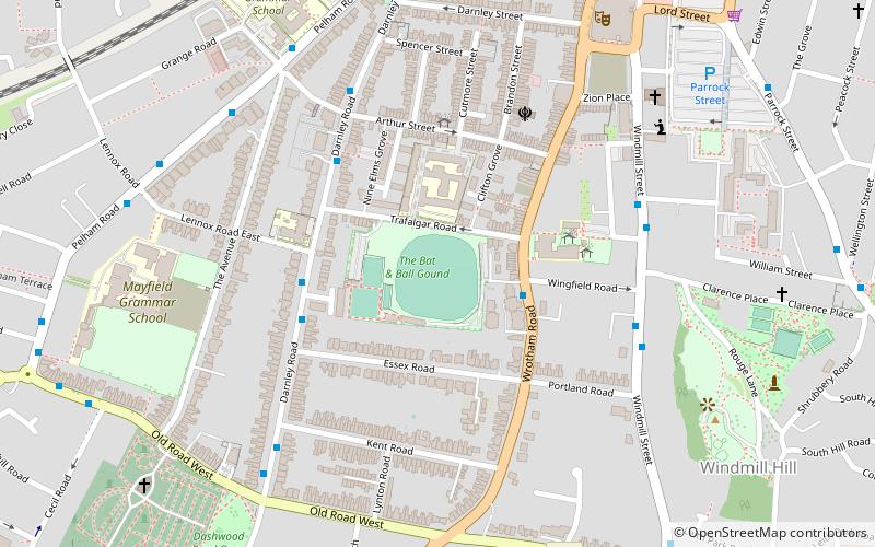
The Bat & Ball Ground is a cricket and sports ground in Gravesend in Kent. The ground was used as a first-class cricket venue by Kent County Cricket Club between 1849 and 1971. It remains in use by Gravesend Cricket Club who have used the ground as their home since their formation in 1881. The site also has lawn bowls and tennis facilities and is the home of Gravesend Bowls Club. ()
Coordinates: 51°26'12"N, 0°21'54"E
Getting there by public transportation
Public transportation stops near this location
- Bus
- Train
- Ferry
 Bus
Bus
- Calculate routeClarence Row 5 min walk
- Calculate routePelham Road Medical Centre 6 min walk
- Calculate routeLennox Road East 7 min walk
- Calculate routeThe Grove 9 min walk
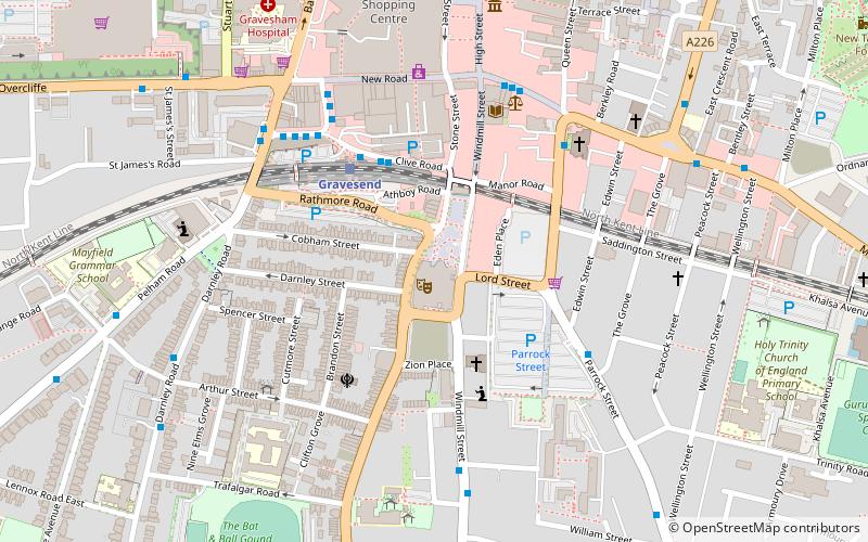
- Calculate routeGravesend 9 min walk
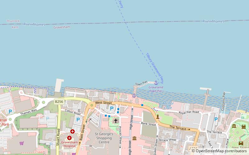
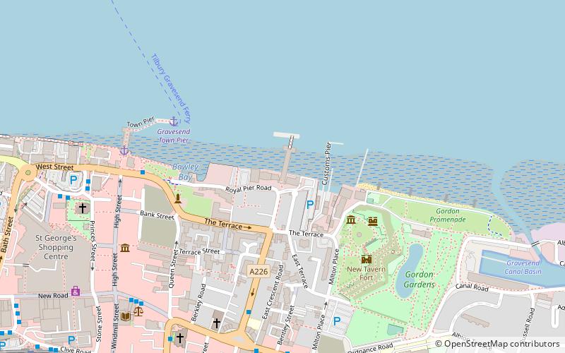
- Calculate routeGravesend Town Pier 18 min walk
- Calculate routeTilbury Landing Stage 25 min walk
Day trips


Frequently Asked Questions (FAQ)
Which popular attractions are close to The Bat and Ball Ground?
Nearby attractions include The Woodville, Gravesend (7 min walk), Gravesend Town Hall, Gravesend (14 min walk), St George's Church, Gravesend (14 min walk), Town Pier, Gravesend (16 min walk).
How to get to The Bat and Ball Ground by public transport?
The nearest stations to The Bat and Ball Ground:
Bus
Train
Ferry
Bus
- Clarence Row • Lines: 455 (5 min walk)
- Pelham Road Medical Centre • Lines: 481, 483, 489 (6 min walk)
Train
- Gravesend (9 min walk)
Ferry
- Gravesend Town Pier • Lines: Gravesend-Tillbury Foot Ferry, Tillbury-Gravesend Foot Ferry (18 min walk)
- Tilbury Landing Stage • Lines: Gravesend-Tillbury Foot Ferry, Tillbury-Gravesend Foot Ferry (25 min walk)