Holmbury Hill
Map
Facts and practical information
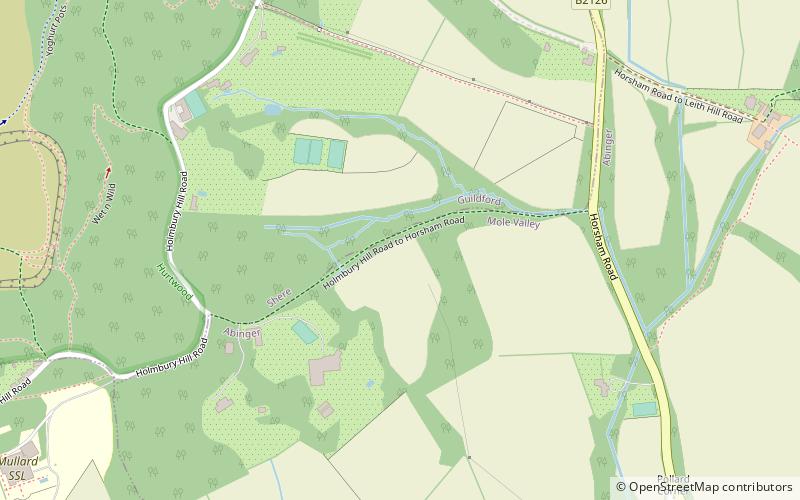
Holmbury Hill is a wooded area of 261 metres above sea level in Surrey, England, and the site of an Iron Age-period hillfort. The Old Saxon word "holm" can be translated as hill and "bury" means fortified place. It sits along the undulating Greensand Ridge, its summit being 805 feet from the elevated and tightly clustered small village of Holmbury St. Mary which was traditionally part of Shere, 8 kilometres away. ()
Coordinates: 51°10'30"N, 0°24'45"W
Location
England
ContactAdd
Social media
Add
Day trips