St Wilfrid's Church, Warrington
Map

Map

Facts and practical information
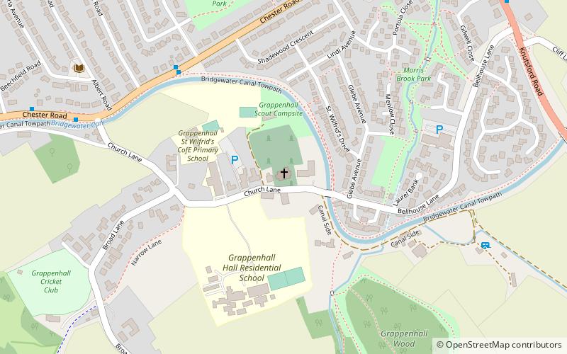
St Wilfrid's Church is in Church Lane, Grappenhall, a village in Warrington, Cheshire, England. It is designated by Historic England as a Grade I listed building. It is an active Anglican parish church in the diocese of Chester, the archdeaconry of Chester and the deanery of Great Budworth. ()
Completed: 1874 (152 years ago)Architectural style: English gothicSpire height: 76 ftCoordinates: 53°22'20"N, 2°32'36"W
Day trips
St Wilfrid's Church – popular in the area (distance from the attraction)
Nearby attractions include: St Mary's Church, Warrington Museum & Art Gallery, Parr Hall, Holy Trinity Church.
Frequently Asked Questions (FAQ)
How to get to St Wilfrid's Church by public transport?
The nearest stations to St Wilfrid's Church:
Bus
Bus
- Dog and Dart • Lines: Cat6 (9 min walk)


