Twerton Park, Bath
Map

Map

Facts and practical information
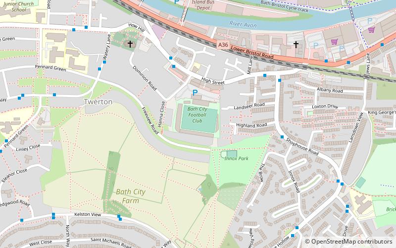
Twerton Park is a football stadium in the Twerton suburb of Bath, England. It is currently used for football matches and is the home ground of Bath City. From 1986 to 1996 Bristol Rovers played there following their departure from Eastville. From 2020, the ground also became the home stadium for Bristol City W.F.C. The stadium has a capacity of 3,528 people, with 1,066 seats. ()
Opened: 26 June 1909 (116 years ago)Capacity: 3528Coordinates: 51°22'43"N, 2°23'42"W
Address
Bath
ContactAdd
Social media
Add
Day trips
Twerton Park – popular in the area (distance from the attraction)
Nearby attractions include: Royal Crescent, No. 1 Royal Crescent, Royal Victoria Park, Bath Postal Museum.
Frequently Asked Questions (FAQ)
Which popular attractions are close to Twerton Park?
Nearby attractions include Bath City Farm, Bath (7 min walk), Weston Lock, Bath (8 min walk), Locksbrook, Bath (9 min walk), Locksbrook Cemetery, Bath (16 min walk).
How to get to Twerton Park by public transport?
The nearest stations to Twerton Park:
Train
Bus
Train
- Oldfield Park (17 min walk)
Bus
- P&R Newbridge • Lines: 21 (24 min walk)
- Oldfield Road • Lines: 171, 172, 173, 174, 41 (30 min walk)


