Blundells Copse, Reading
Map

Gallery

Facts and practical information
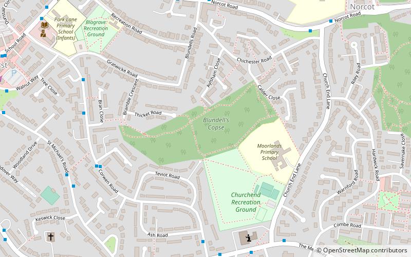
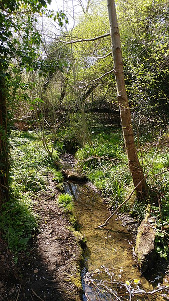
Blundells Copse is a local nature reserve in the suburb of Tilehurst in the town of Reading, UK. The site is 5.55 hectares in size, and comprises a close growing, ancient woodland with a stream. The nature reserve is under the management of the Reading Borough Council and, along with Lousehill Copse and McIlroy Park, is part of West Reading Woodlands. ()
Elevation: 305 ft a.s.l.Coordinates: 51°27'23"N, 1°1'55"W
Address
TilehurstReading
ContactAdd
Social media
Add
Day trips
Blundells Copse – popular in the area (distance from the attraction)
Nearby attractions include: Calcot Park, Oxford Road, Prospect Park, Church of St Michael.
Frequently Asked Questions (FAQ)
Which popular attractions are close to Blundells Copse?
Nearby attractions include Church of St Michael, Reading (9 min walk), Round Copse, Moor Copse (12 min walk), Lousehill Copse, Reading (13 min walk), McIlroy Park, Reading (15 min walk).
How to get to Blundells Copse by public transport?
The nearest stations to Blundells Copse:
Bus
Train
Bus
- Blundells Road • Lines: 17 (6 min walk)
- Church End Lane • Lines: 17 (8 min walk)
Train
- Tilehurst (28 min walk)


