Peatlands Park
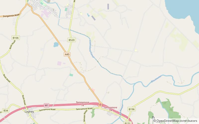
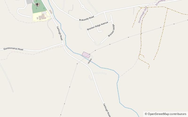
Map
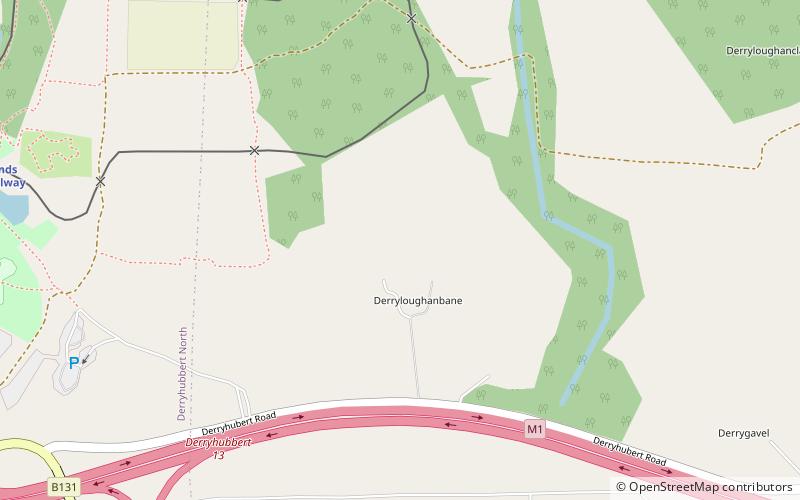
Map

Facts and practical information
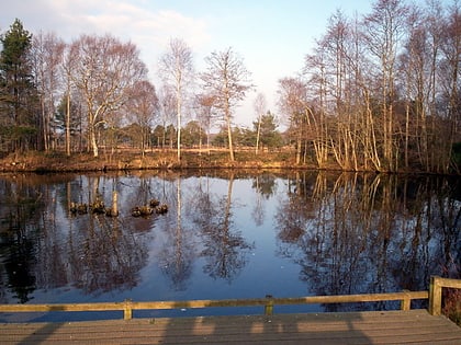
Peatlands Park is a 266 hectares area established in 1990 and placed under the safeguard of the Northern Ireland Environment Agency. It is located in County Armagh, Northern Ireland, and has been designated as an Area of Special Scientific Interest. Peatlands Park is home to a particularly rich sample of the fauna and flora found in peat bogs, and proposes 16 km of paths to its visitors. ()
Elevation: 75 ft a.s.l.Coordinates: 54°29'6"N, 6°36'32"W
Day trips
Peatlands Park – popular in the area (distance from the attraction)
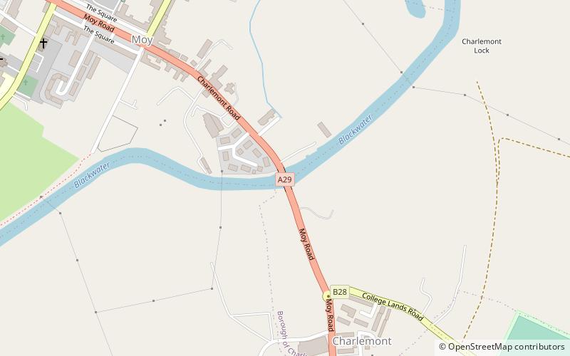
Nearby attractions include: Mountjoy Castle, Benburb Castle, Charlemont Bridge, Maghery Country Park.
