Queen's Park, Birmingham
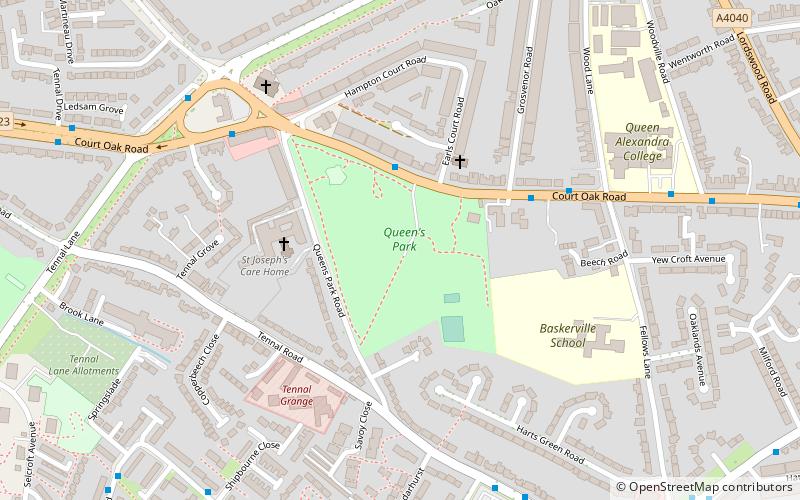
Map

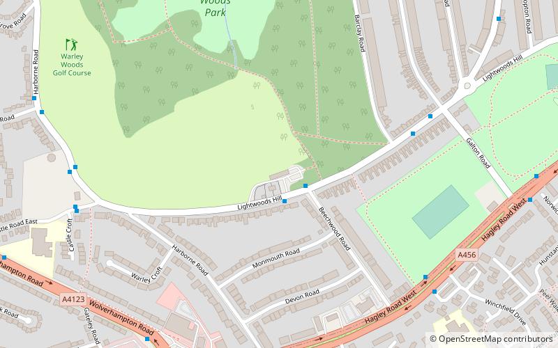
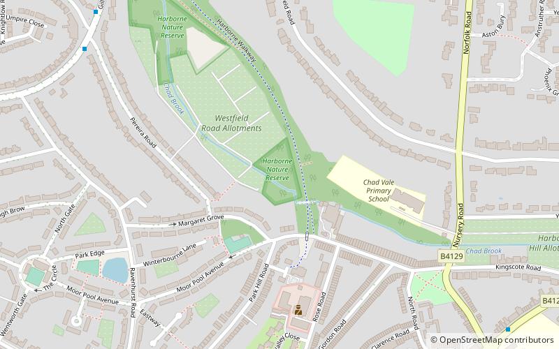
Map

Facts and practical information
Queens Park was laid out in 1898 in celebration of Queen Victoria's Diamond Jubilee, after which Turks Lane was renamed Queens Park Road. The 10-acre plot was bought by the Harborne Charity Fete Committee and presented to the city council. ()
Created: 1898Elevation: 581 ft a.s.l.Coordinates: 52°27'33"N, 1°58'15"W
Address
Court Oak RoadHarborneBirmingham B17 9AH
ContactAdd
Social media
Add
Day trips
Queen's Park – popular in the area (distance from the attraction)
Nearby attractions include: Warley Woods, Selly Oak Park, St Augustine's Church, Weoley Castle.
Frequently Asked Questions (FAQ)
Which popular attractions are close to Queen's Park?
Nearby attractions include St Faith and St Laurence's Church, Birmingham (5 min walk), St Peter's Church, Birmingham (17 min walk), Lightwoods Park, Birmingham (20 min walk), Warley Woods, Birmingham (22 min walk).
How to get to Queen's Park by public transport?
The nearest stations to Queen's Park:
Bus
Bus
- Hagley Road West / Wolverhampton Rd • Lines: X8 (18 min walk)
- Bs • Lines: 400, X8 (22 min walk)


