Royal Brunswick Ground, Brighton

Map
Facts and practical information
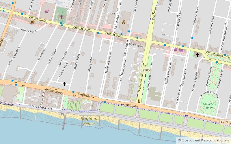
The Royal Brunswick Ground, also known as "C H Gausden's Ground", in Hove, Sussex was a venue for first-class cricket matches from 1848 to 1871. The ground was situated to the west of the Brunswick Town area of Hove, roughly where Third and Fourth Avenues are today. As the land near the seafront was required for the expansion of the town, the club moved in 1872. ()
Coordinates: 50°49'34"N, 0°10'16"W
Address
Central HoveBrighton
ContactAdd
Social media
Add
Day trips
Royal Brunswick Ground – popular in the area (distance from the attraction)
Nearby attractions include: Adelaide Crescent, Palmeira Square, Brighton and Hove Progressive Synagogue, All Saints Church.
Frequently Asked Questions (FAQ)
Which popular attractions are close to Royal Brunswick Ground?
Nearby attractions include Hove War Memorial, Brighton (3 min walk), Courtenay Gate, Brighton (4 min walk), Hove Town Hall, Brighton (4 min walk), Cameron Contemporary, Brighton (5 min walk).
How to get to Royal Brunswick Ground by public transport?
The nearest stations to Royal Brunswick Ground:
Bus
Train
Bus
- Fourth Avenue • Lines: 700 (3 min walk)
- Hove Town Hall • Lines: 1, 1A, 2, 21, 21A, 25, 46, 49, 5, 5A, 5B, 6, 60, 71, N1, N5 (4 min walk)
Train
- Hove (17 min walk)
- Aldrington (22 min walk)


