Lamachan Hill
#4359 among destinations in the United Kingdom


Facts and practical information
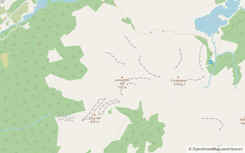
Lamachan Hill is a hill in the Minnigaff Hills, a sub-range of the Galloway Hills range, part of the Southern Uplands of Scotland. It is the highest hill of the range, lying 11 kilometres north of the town of Newton Stewart in Dumfries and Galloway. ()
ScotlandUnited Kingdom
Lamachan Hill – popular in the area (distance from the attraction)
Nearby attractions include: Merrick, Merrick, Loch Trool, Loch Enoch.
 Nature, Natural attraction, Mountain
Merrick, Silver Flowe-Merrick Kells
136 min walk • The Merrick, or simply Merrick, is a mountain in the Range of the Awful Hand, a sub-range of the Galloway Hills range, part of the Southern Uplands of Scotland.
 Nature, Natural attraction, Mountain
Merrick, Silver Flowe-Merrick Kells
113 min walk • The Merrick, or simply Merrick, is a mountain in the Range of the Awful Hand, a sub-range of the Galloway Hills range, part of the Southern Uplands of Scotland.
 Nature, Natural attraction, Lake
Loch Trool
57 min walk • Loch Trool is a narrow, freshwater loch in Galloway, in the Southern Uplands in south-west Scotland. It lies in an elevated position in Glen Trool in the Galloway Forest Park and is approximately 8 miles north of the town of Newton Stewart.
 Nature, Natural attraction, Lake
Loch Enoch, Silver Flowe-Merrick Kells
129 min walk • Loch Enoch is a multi-basin freshwater loch in Galloway, to the east of Merrick and south of Mullwharchar. The loch is situated in a granite basin and has several small islands and some beaches on its shore.
 Nature, Natural attraction, Protected area
Round Loch of Glenhead, Silver Flowe-Merrick Kells
58 min walk • The Round Loch of Glenhead is a small upland single basin loch in Dumfries and Galloway. It is situated within Galloway Forest Park to the west of the hill Craiglee. It forms a pair with the nearby Long Loch of Glenhead. Both lochs are of similar sizes and each have a small island.
 Nature, Natural attraction, Mountain
Galloway Hills, Silver Flowe-Merrick Kells
109 min walk • The Galloway Hills are part of the Southern Uplands of Scotland, and form the northern boundary of western Galloway. They lie within the bounds of the Galloway Forest Park, an area of some 300 square miles of largely uninhabited wild land, managed by Forestry and Land Scotland.
 Nature, Natural attraction, Mountain
Craignaw, Silver Flowe-Merrick Kells
107 min walk • Craignaw is a hill in the Dungeon Hills, a sub-range of the Galloway Hills range, part of the Southern Uplands of Scotland. Unlike many hills in the Southern Uplands, Craignaw has a complex and rocky summit area, with a long line of crags and rough ground on the east side.
 Nature, Natural attraction, Lake
Loch Neldricken, Silver Flowe-Merrick Kells
96 min walk • Loch Neldricken is a loch in Galloway to the south-east of Merrick, south of Craig Neldricken and west of Craignaw. The loch is almost bisected by a long promontory.

 Park
ParkGalloway Forest Park, Silver Flowe-Merrick Kells
111 min walk • Galloway Forest Park is a forest park operated by Forestry and Land Scotland, principally covering woodland in Dumfries and Galloway. It is claimed to be the largest forest in the UK. The park was granted Dark Sky Park status in November 2009, being the first area in the UK to be so designated.
 Nature, Natural attraction, Lake
Loch Valley, Silver Flowe-Merrick Kells
74 min walk • Loch Valley is a loch in Galloway Forest Park to the east of Buchan Hill, north of the Rig of the Jarkness and southwest of Craignaw. It drains via Gairland Burn down to Loch Trool.
