Loch Trool
Map

Map

Facts and practical information
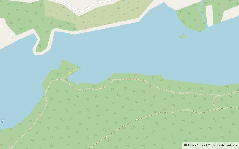
Loch Trool is a narrow, freshwater loch in Galloway, in the Southern Uplands in south-west Scotland. It lies in an elevated position in Glen Trool in the Galloway Forest Park and is approximately 8 miles north of the town of Newton Stewart. The loch is the source of the Water of Trool which flows to the Water of Minnoch and the River Cree. There is a walking trail and footpath around the loch's perimeter. ()
Alternative names: Length: 7920 ftWidth: 1312 ftMaximum depth: 55 ftElevation: 302 ft a.s.l.Coordinates: 55°5'15"N, 4°29'22"W
Location
Scotland
ContactAdd
Social media
Add
Day trips
Loch Trool – popular in the area (distance from the attraction)
Nearby attractions include: Merrick, Merrick, Loch Enoch, Round Loch of Glenhead.


