Hadley Wood, London
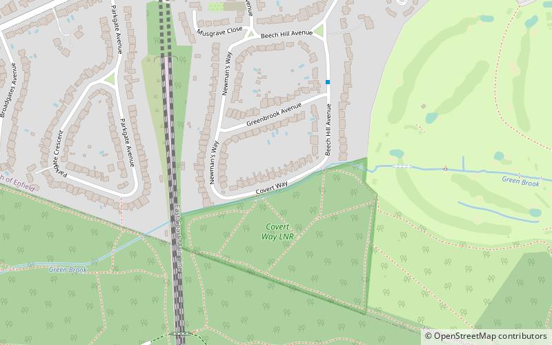
Map

Gallery

Facts and practical information
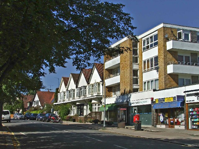
Hadley Wood is an affluent suburb in the north of Greater London, close to the border with Hertfordshire. It appears to be a stand-alone village surrounded by Green Belt land, however, under the Local Government Act 1972 it is part of the London Borough of Enfield, about 11 miles north of Charing Cross. ()
Coordinates: 51°39'43"N, 0°10'21"W
Address
Enfield (Cockfosters)London
ContactAdd
Social media
Add
Day trips
Hadley Wood – popular in the area (distance from the attraction)
Nearby attractions include: Hadley Wood Golf Course, Christ Church Cockfosters, Covert Way, New Barnet War Memorial.
Frequently Asked Questions (FAQ)
Which popular attractions are close to Hadley Wood?
Nearby attractions include Covert Way, Potters Bar (3 min walk), Tudor Sports Ground, Potters Bar (11 min walk), Albert Road gas holder, Potters Bar (15 min walk), New Barnet War Memorial, London (22 min walk).
How to get to Hadley Wood by public transport?
The nearest stations to Hadley Wood:
Bus
Train
Metro
Bus
- Hail & Ride Beech Hill Avenue • Lines: 399 (4 min walk)
- Hadley Wood Station • Lines: 399 (12 min walk)
Train
- Hadley Wood (13 min walk)
- New Barnet (25 min walk)
Metro
- High Barnet • Lines: Northern (32 min walk)
- Cockfosters • Lines: Piccadilly (32 min walk)

 Tube
Tube


