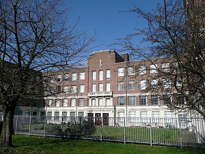
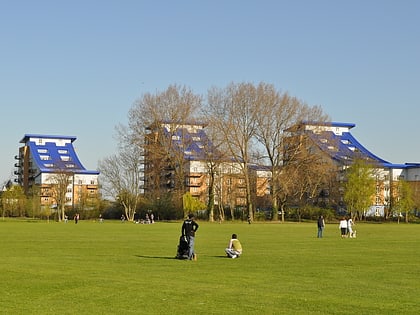
Reading College, Reading
Map
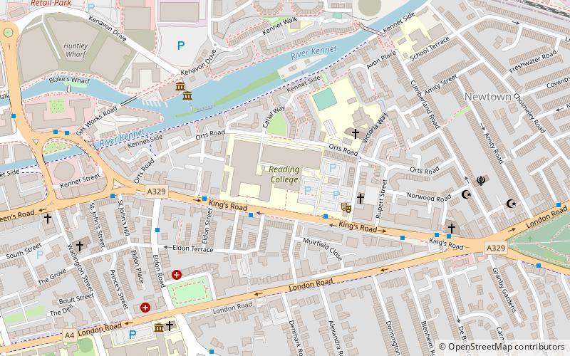
Map

Facts and practical information
Reading College is a further education college based in Reading, Berkshire, England. It has over 8,500 local learners on over 900 courses. ()
Coordinates: 51°27'15"N, 0°57'17"W
Day trips
Reading College – popular in the area (distance from the attraction)
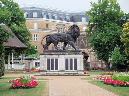
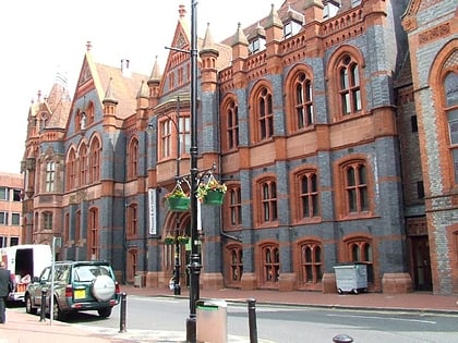
Nearby attractions include: Broad Street, Queen Victoria Street, The Oracle, Union Street.
Frequently Asked Questions (FAQ)
Which popular attractions are close to Reading College?
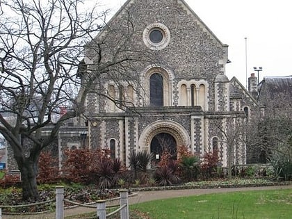
Nearby attractions include Blake's Lock, Reading (4 min walk), Riverside Museum at Blake's Lock, Reading (5 min walk), Cemetery Junction, Reading (8 min walk), Sacred Heart Church, Reading (8 min walk).
How to get to Reading College by public transport?
The nearest stations to Reading College:
Bus
Train
Bus
- Reading College • Lines: 13, 14, 17, 4, 702, X4 (2 min walk)
- Eldon Road • Lines: 13, 14, 17, 19a, 19b, 19c, 22, 3, 4, 702, 9, X4 (5 min walk)
Train
- Reading (22 min walk)
