Burnley Wood, Burnley


Facts and practical information
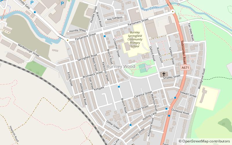
Burnley Wood is a district and former electoral ward of Burnley, Lancashire. In broad terms the area lies between Parliament Street in the north and Hufling Lane in the south, and from the railway in the west to Todmorden Road in the east. Based on historic definitions of the ward boundary, Burnley Wood could also be defined as including the more affluent areas around the Woodgrove Road area to the east of Todmorden Road, Brooklands Road to the south and the area north of Parliament Street as far as the River Calder. Historically the district was located in the parish and township of Habergham Eaves, separated from the adjacent Burnley township, later Borough by the Calder before being incorporated into the County Borough of Burnley in 1894. ()
Burnley
Burnley Wood – popular in the area (distance from the attraction)
Nearby attractions include: Towneley Hall, Burnley Way, Weavers' Triangle, Burnley Town Hall.
Frequently Asked Questions (FAQ)
Which popular attractions are close to Burnley Wood?
How to get to Burnley Wood by public transport?
Bus
- Linden Street • Lines: 3, 4 (9 min walk)
- Hull Street • Lines: 3, 4 (9 min walk)
Train
- Burnley Manchester Road (15 min walk)
- Burnley Central (22 min walk)


