Peel Croft, Burton upon Trent

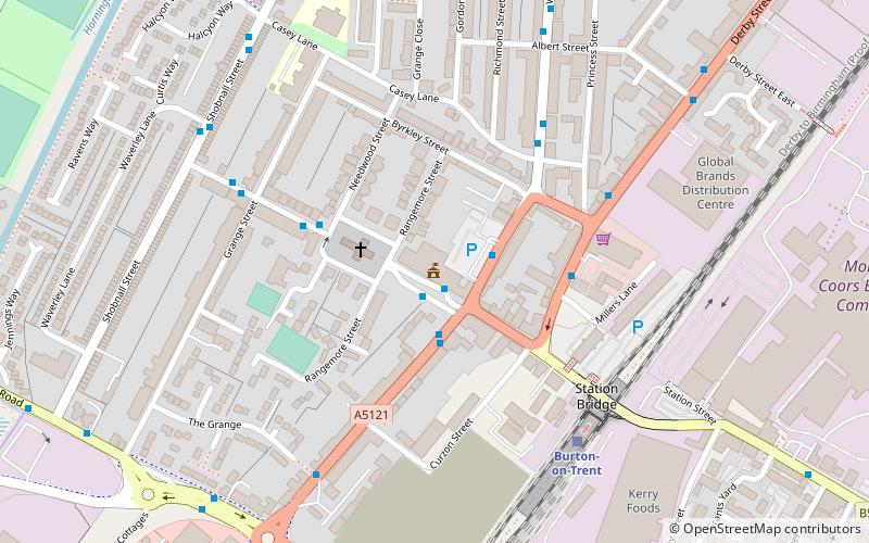
Map
Facts and practical information
Peel Croft was a sports ground in Burton upon Trent in England. It was the home ground of Burton Rugby Football Club and the Burton Swifts and Burton United football clubs, who played in the Football League between 1892 and 1907. ()
Coordinates: 52°47'56"N, 1°38'7"W
Address
Burton upon Trent
ContactAdd
Social media
Add
Getting there by public transportation
Public transportation stops near this location
- Bus
- Train
 Bus
Bus
- Calculate routeBond Street 2 min walk
- Calculate routeWatson Street 4 min walk
- Calculate routeThe Octagon Centre 4 min walk
- Calculate routeBurton-on-Trent 15 min walk
Day trips
Peel Croft – popular in the area (distance from the attraction)
Nearby attractions include: Coopers Square Shopping Centre, Shobnall, St Peter's Bridge, Burton Town Hall.


Frequently Asked Questions (FAQ)
Which popular attractions are close to Peel Croft?
Nearby attractions include Burton and South Derbyshire College, Burton upon Trent (6 min walk), The Burton Cooper, Burton upon Trent (7 min walk), Burton Market Hall, Burton upon Trent (8 min walk), St Modwen's, Burton upon Trent (8 min walk).
How to get to Peel Croft by public transport?
The nearest stations to Peel Croft:
Bus
Train
Bus
- Bond Street • Lines: 11, 12, 18, 19, 19B, 19C, 2, 21, 21E, 22, 4, 811, 812, X12 (2 min walk)
- Watson Street • Lines: 11, 12, 811, 812, X12 (4 min walk)
Train
- Burton-on-Trent (15 min walk)