St Saviour's Church
Map

Map

Facts and practical information
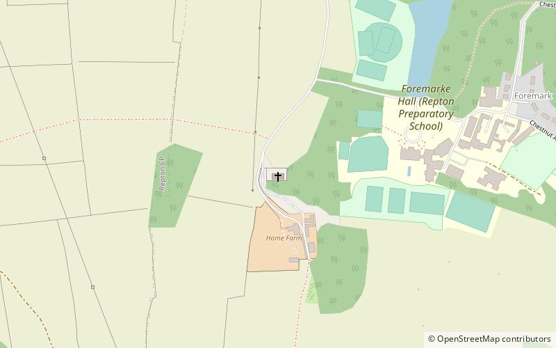
St Saviour's Church, Foremark is a Grade I listed parish church in the Church of England in Foremark, Derbyshire. ()
Completed: 1662 (364 years ago)Coordinates: 52°50'5"N, 1°30'43"W
Location
England
ContactAdd
Social media
Add
Day trips
St Saviour's Church – popular in the area (distance from the attraction)
Nearby attractions include: Calke Abbey, Stenson Marina, Anchor Church, Staunton Harold Sailability Trust.


