Balls Park, Hertford

Gallery (1)
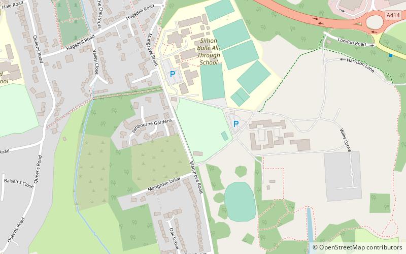
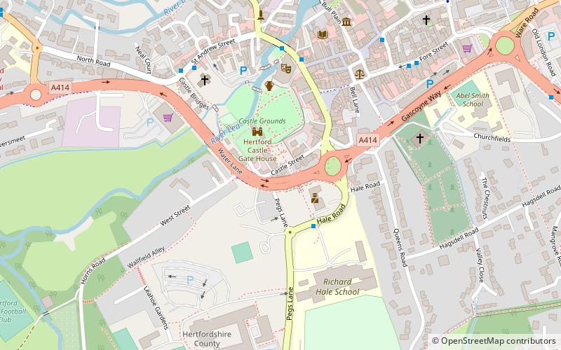
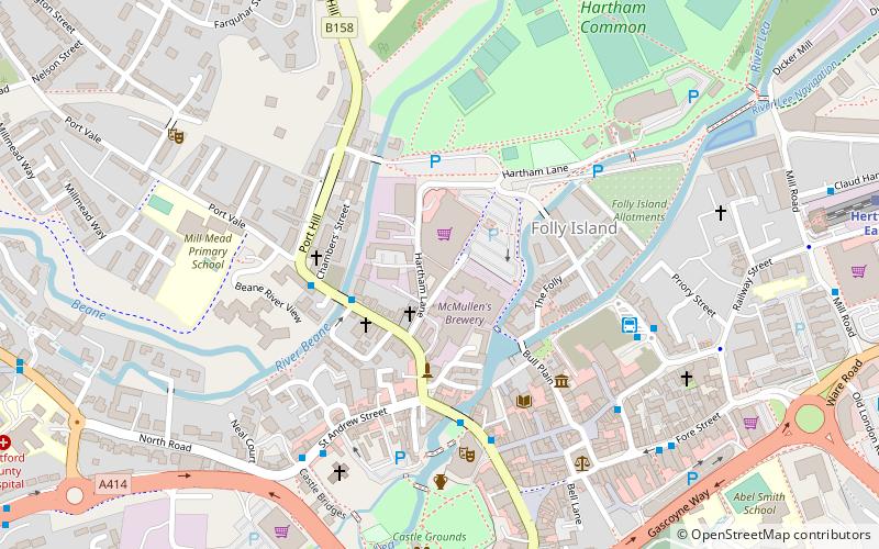
Map
Map
Facts and practical information
Balls Park in Hertford is a Grade I Listed mid-17th-century house. The estate and house are set in over 63 acres of parkland which is listed Grade II on the English Heritage Register of Parks and Gardens of Special Historic Interest. The estate and house has been claimed to have been the inspiration for some of Jane Austen’s novel Pride and Prejudice, which is set in Hertfordshire, however the only citation to this is a sales ad in a newspaper. ()
Coordinates: 51°47'27"N, 0°4'9"W
Address
Hertford
ContactAdd
Social media
Add
Getting there by public transportation
Public transportation stops near this location
- Bus
- Train
 Bus
Bus
- Calculate routeTesco 14 min walk
- Calculate routeCaxton Hill 14 min walk
- Calculate routeBus Station 15 min walk
- Calculate routeHertford East 16 min walk
- Calculate routeHertford North 29 min walk
Day trips


Frequently Asked Questions (FAQ)
Which popular attractions are close to Balls Park?
Nearby attractions include All Saints' Church, Hertford (11 min walk), Shire Hall, Hertford (13 min walk), County Hall, Hertford (14 min walk), Hertford Museum, Hertford (15 min walk).
How to get to Balls Park by public transport?
The nearest stations to Balls Park:
Bus
Train
Bus
- Tesco • Lines: 10 (14 min walk)
- Caxton Hill • Lines: 10 (14 min walk)
Train
- Hertford East (16 min walk)
- Hertford North (29 min walk)