Wykebeck, Leeds
Map

Map

Facts and practical information
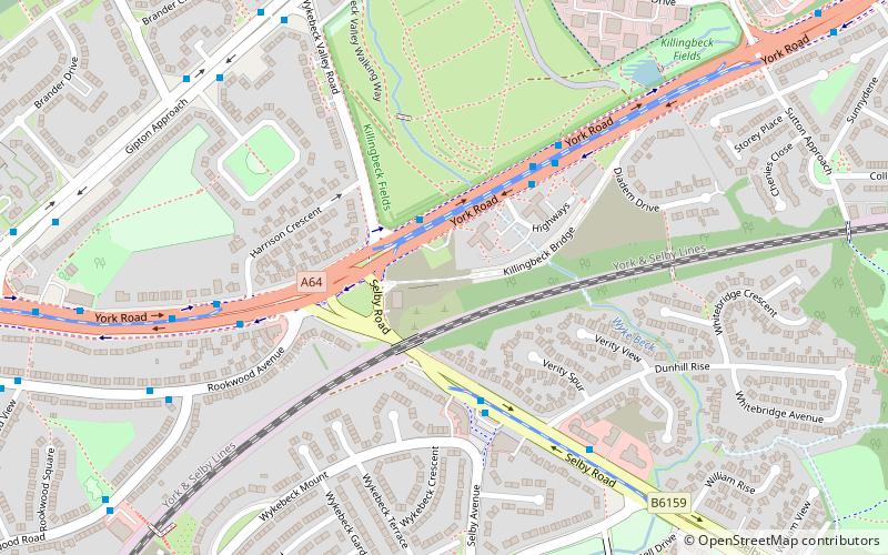
Wykebeck is an area of east Leeds, West Yorkshire, England named after the Wyke Beck and situated between Gipton and Seacroft along Wykebeck Road. The area falls within the Gipton and Harehills ward of the Leeds City Council. The area is seldom referred to, instead people usually perceive Gipton to be West of the beck and Seacroft to be East of it. The area consists of several blocks of highrise council flats to the south. ()
Coordinates: 53°48'7"N, 1°29'6"W
Address
Burmantofts (Killingbeck)Leeds
ContactAdd
Social media
Add
Day trips
Wykebeck – popular in the area (distance from the attraction)
Nearby attractions include: Temple Newsam, St Wilfrid's Church, Church of the Epiphany, St James' Church.
Frequently Asked Questions (FAQ)
Which popular attractions are close to Wykebeck?
Nearby attractions include Killingbeck, Leeds (4 min walk), Halton Moor, Leeds (12 min walk), St Wilfrid's Church, Leeds (13 min walk), Osmondthorpe, Leeds (16 min walk).
How to get to Wykebeck by public transport?
The nearest stations to Wykebeck:
Bus
Bus
- York Road Highways Flats • Lines: 56 (4 min walk)
- Selby Road Dunhill Rise • Lines: 26, 27 (4 min walk)


