Stanner Rocks

Map
Facts and practical information
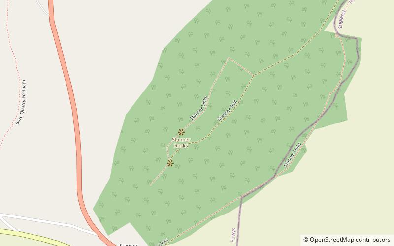
Stanner Rocks is a rounded hill, steep in parts, which lies close to the Wales border with England between Walton and Kington. A superb collection of wild plants can be found here. Where it faces south, warm sunshine and drying winds create an ideal environment for plants which are more likely to be seen around the Mediterranean. The most famous of Stanner Rocks’ specialties is the pretty and elusive Radnor Lily, having small, starry yellow flowers. ()
Coordinates: 52°13'16"N, 3°4'45"W
Location
Wales
ContactAdd
Social media
Add
Day trips
Stanner Rocks – popular in the area (distance from the attraction)
Nearby attractions include: Kington Museum, Ye Olde Tavern, Hergest Ridge, St Stephen's Church.


