Rhos Fawr

Gallery (1)
Map
Map
Facts and practical information
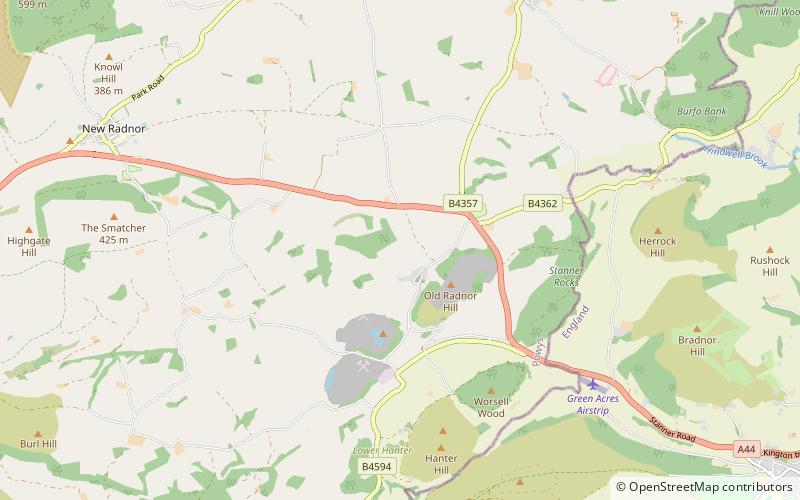
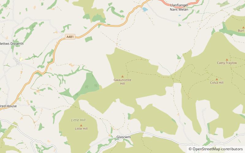
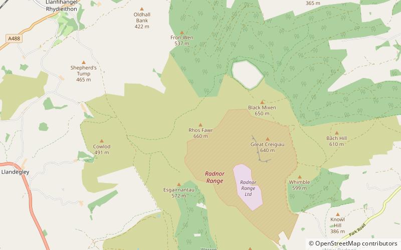
Rhos Fawr is a mountain summit in the Radnor Forest, a rather isolated dome of hills to the north of the village of New Radnor. The local rocks are sedimentary shales and mudstones with some Silurian limestone. With a height of 660 metres, it is the highest point in the Radnor Forest and the historic county top of Radnorshire. ()
Elevation: 2165 ftProminence: 1243 ftCoordinates: 52°16'1"N, 3°11'59"W
Location
Wales
ContactAdd
Social media
Add
Day trips