Burfa Castle

Gallery (1)
Map
Map
Facts and practical information
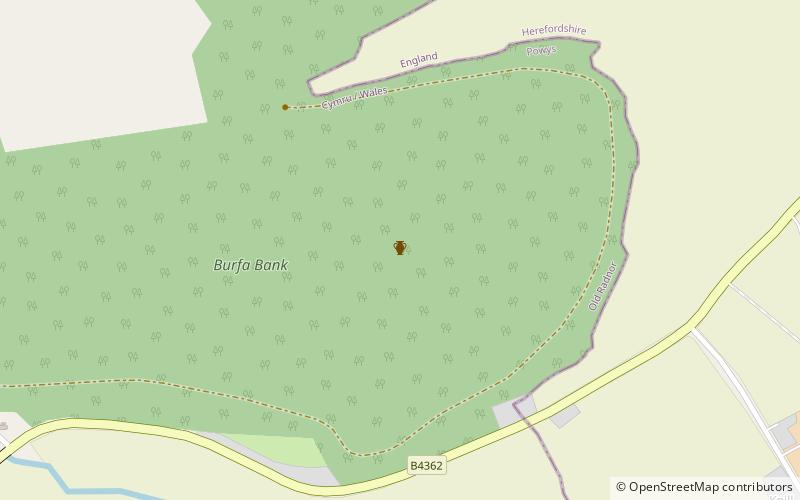
Burfa Castle is an Iron Age hillfort near the tiny town of Old Radnor, Radnorshire in Powys, Wales. The site is a scheduled monument described as a prehistoric defensive hillfort, and was included in an inventory of monuments by 1913. The site is near Offa's Dyke which passes near the bottom of Burfa Bank. ()
Coordinates: 52°14'34"N, 3°2'53"W
Location
Wales
ContactAdd
Social media
Add
Day trips