London Borough of Haringey, London
Map

Map

Facts and practical information
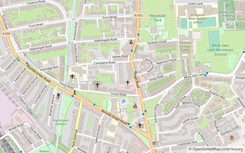
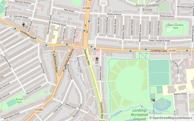
The London Borough of Haringey is a London borough in North London, classified by some definitions as part of Inner London, and by others as part of Outer London. It was created in 1965 by the amalgamation of three former boroughs. It shares borders with six other London boroughs. Clockwise from the north, they are: Enfield, Waltham Forest, Hackney, Islington, Camden, and Barnet. ()
Day trips
London Borough of Haringey – popular in the area (distance from the attraction)
Nearby attractions include: Alexandra Palace, The Mall Wood Green, St Benet Fink Church, Alexandra Park.
Frequently Asked Questions (FAQ)
Which popular attractions are close to London Borough of Haringey?
Nearby attractions include Fishmongers Arms, London (2 min walk), George Meehan House, London (5 min walk), Braemar Avenue Baptist Church, London (6 min walk), Wood Green, London (7 min walk).
How to get to London Borough of Haringey by public transport?
The nearest stations to London Borough of Haringey:
Bus
Metro
Train
Bus
- Canning Crescent • Lines: 121, 141, 232, 329, 629, N29 (2 min walk)
- Nightingale Road • Lines: 121, 141, 232, 329, 629, N29 (4 min walk)
Metro
- Wood Green • Lines: Piccadilly (9 min walk)
- Bounds Green • Lines: Piccadilly (17 min walk)
Train
- Alexandra Palace (11 min walk)
- Bowes Park (13 min walk)

 Tube
Tube


