Crawley Edge Cairns, Stanhope
#2 among attractions in Stanhope
![Crawley Edge Cairns location map](https://tzmedia.b-cdn.net/media/images/static-maps/gb/54_7531_-1_99686.jpg)
Facts and practical information
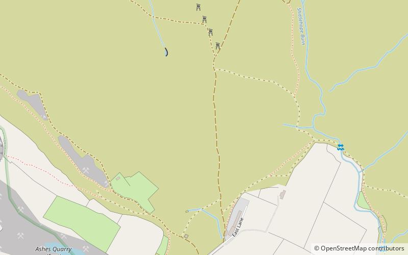
The Crawley Edge Cairns are a series of forty-two Bronze Age round barrows, cairns and clearance cairns located in a field in Crawleyside, near Stanhope, County Durham, England. ()
Stanhope United Kingdom
Crawley Edge Cairns – popular in the area (distance from the attraction)
Nearby attractions include: Hisehope Reservoir, Derwent Gorge and Horsleyhope Ravine, Tunstall Reservoir, Fairy Holes Cave.
4.3 miNLakeHisehope Reservoir, North Pennines
110 min walk • Hisehope Reservoir is the smallest of a group of three reservoirs located on Muggleswick Common, County Durham, the others being Waskerley and Smiddy Shaw Reservoirs. The reservoir was completed 1906, and is owned and operated by Northumbrian Water.
6.4 miNENature, Natural attraction, CanyonDerwent Gorge and Horsleyhope Ravine
163 min walk • Derwent Gorge and Horsleyhope Ravine is a Site of Special Scientific Interest in the Derwentside district of north County Durham and the Tynedale district of south Northumberland, England.
4 miENature, Natural attraction, LakeTunstall Reservoir
102 min walk • Tunstall Reservoir was a water supply storage reservoir completed in 1879, and now used solely to maintain minimum regulatory flows on the River Wear in northeast England.
4.8 miSWNature, Natural attraction, CaveFairy Holes Cave
123 min walk • Fairy Holes Cave is a Site of Special Scientific Interest in the Wear Valley district of west County Durham, England. It is located on the western flanks of Snowhope Moor, on the right bank of Westernhope Burn, some 3 km south-west of the village of Eastgate.
4.7 miNENature, Natural attraction, LakeSmiddy Shaw Reservoir
120 min walk • Smiddy Shaw Reservoir is one of a group of three reservoirs located on Muggleswick Common, County Durham, the others being Waskerley and Hisehope Reservoirs. The reservoir, which was completed by 1872, is owned and operated by Northumbrian Water.
4.5 miWNature, Natural attraction, ForestWesternhope Burn Wood
115 min walk • Westernhope Burn Wood is a Site of Special Scientific Interest in the Wear Valley district of south-west County Durham, England.
3.8 miSENature, Natural attraction, ValleyWeardale
98 min walk • Weardale is a dale, or valley, on the east side of the Pennines in County Durham, England. Large parts of Weardale fall within the North Pennines Area of Outstanding Natural Beauty – the second-largest AONB in England and Wales.
3 miNENature, Natural attraction, LakeWaskerley Reservoir
78 min walk • Waskerley Reservoir is the largest of a group of three reservoirs located on Muggleswick Common, County Durham, the others being Smiddy Shaw and Hisehope Reservoirs.
1.3 miNWArchaeological siteHeathery Burn Cave
33 min walk • Heathery Burn Cave is a cave near Stanhope, County Durham, England, in which a large collection of Late Bronze Age weapons and tools was discovered and excavated between 1859 and 1872.
4.8 miETownWolsingham
123 min walk • Wolsingham is a small market town in Weardale, County Durham, England. It is situated by the River Wear, between Crook and Stanhope in North West Durham. Today it is still a small market town looking much as it did hundreds of years ago with many stone built listed buildings, period features and links to its long history.
4.1 miENational parkBackstone Bank and Baal Hill Woods
105 min walk • Backstone Bank and Baal Hill Woods is a Site of Special Scientific Interest in the County Durham district of Durham, England.