Kersal Priory, Manchester
Map
Facts and practical information
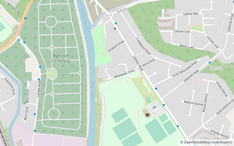
Kersal Priory in the township of Kersal, also known as St Leornards, classed as an Alien priory or hermitage, was populated by Cluniac monks. The priory was dependent on Lenton in Nottinghamshire. Founded between 1145-1453, granted title by Ranulf de Gernon, 4th Earl of Chester sometime after 1143 and became denizen independent from 1392 and was dissolved in 1538. One of the buildings, Kersal Cell is still extant and is now a private residence. ()
Coordinates: 53°30'36"N, 2°17'19"W
Address
Salford (Kersal)Manchester
ContactAdd
Social media
Add
Getting there by public transportation
Public transportation stops near this location
- Bus
- Train
 Bus
Bus
- Calculate routeLangley Road/Cemetery Lodge 6 min walk
- Calculate routeAgecroft Road/Langley Road 9 min walk
- Calculate routeClifton 35 min walk
Maps MetrolinkMaps
 Metrolink / Rail
MetrolinkMapsMetrolink / RailDay trips


Frequently Asked Questions (FAQ)
Which popular attractions are close to Kersal Priory?
Nearby attractions include Agecroft Cemetery, Manchester (7 min walk), Kersal Moor, Manchester (16 min walk), Drinkwater Park, Manchester (21 min walk).
How to get to Kersal Priory by public transport?
The nearest stations to Kersal Priory:
Bus
Train
Bus
- Langley Road/Cemetery Lodge • Lines: 74 (6 min walk)
- Agecroft Road/Langley Road • Lines: 74 (9 min walk)
Train
- Clifton (35 min walk)