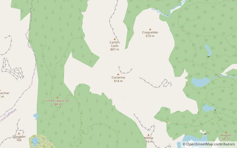
Corserine, Silver Flowe-Merrick Kells
Map

Map

Facts and practical information
Corserine is a hill in the Rhinns of Kells, a sub-range of the Galloway Hills range, part of the Southern Uplands of Scotland. The highest point of the range and the second highest point in Galloway, the usual route of ascent is from the car park at Forrest Lodge to the east of the hill via Loch Harrow and North Gairy Top. Forest Lodge is a short drive from the village of St. John's Town of Dalry. ()
Elevation: 2671 ftProminence: 1601 ftCoordinates: 55°9'18"N, 4°21'32"W
Address
Silver Flowe-Merrick Kells
ContactAdd
Social media
Add
Day trips
Corserine – popular in the area (distance from the attraction)
Nearby attractions include: Merrick, Merrick, Loch Trool, Loch Macaterick.


