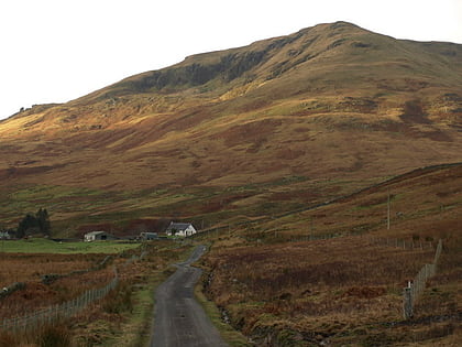
Tarbet Isle, Loch Lomond and The Trossachs National Park
Map
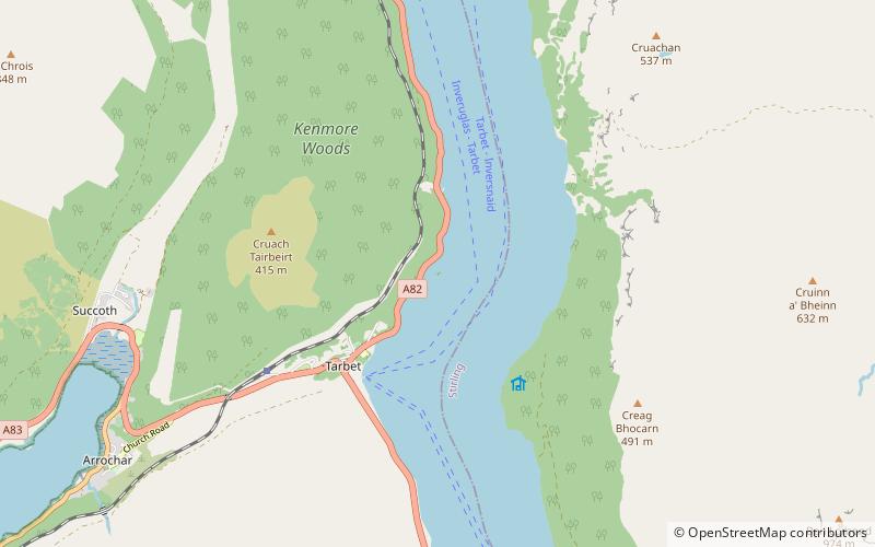
Map

Facts and practical information
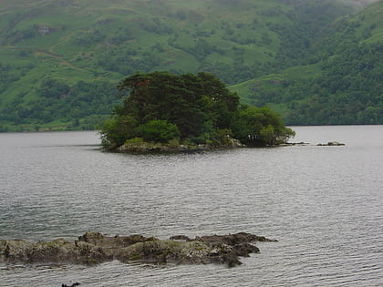
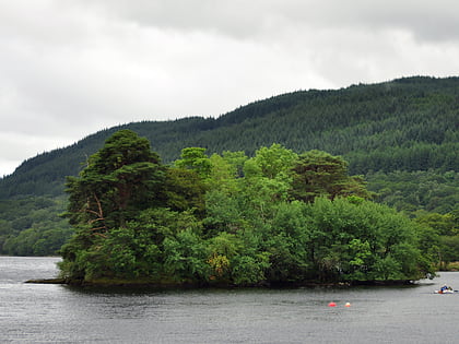
Tarbet Isle is an island in Loch Lomond, Scotland. It is off Tarbet on the mainland. It is 10 feet at its highest point, and 80 metres long. ()
Coordinates: 56°12'42"N, 4°41'46"W
Address
Loch Lomond and The Trossachs National Park
ContactAdd
Social media
Add
Day trips
Tarbet Isle – popular in the area (distance from the attraction)
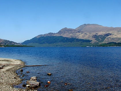
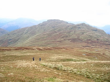
Nearby attractions include: Ben Lomond, The Cobbler, Beinn Narnain, Beinn Bhreac.
Frequently Asked Questions (FAQ)
How to get to Tarbet Isle by public transport?
The nearest stations to Tarbet Isle:
Bus
Train
Bus
- Tarbet outside Hotel on A82 • Lines: 915 (21 min walk)
Train
- Arrochar and Tarbet (31 min walk)
