Warrington, Warrington
Map

Map

Facts and practical information
Warrington is a large town, borough and unitary authority in Cheshire, England, on the banks of the River Mersey. It is 20 miles east of Liverpool, and 16 miles west of Manchester. The population in 2019 was estimated at 165,456 for the town's urban area, and just over 210,014 for the entire borough, the latter being more than double that of 1968 when it became a new town. Warrington is the largest town in the ceremonial county of Cheshire. ()
Day trips
Warrington – popular in the area (distance from the attraction)
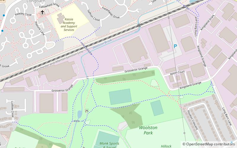
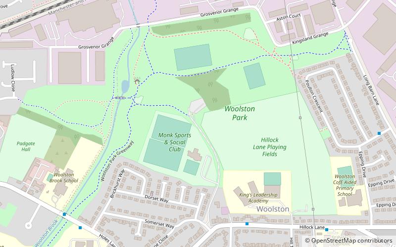
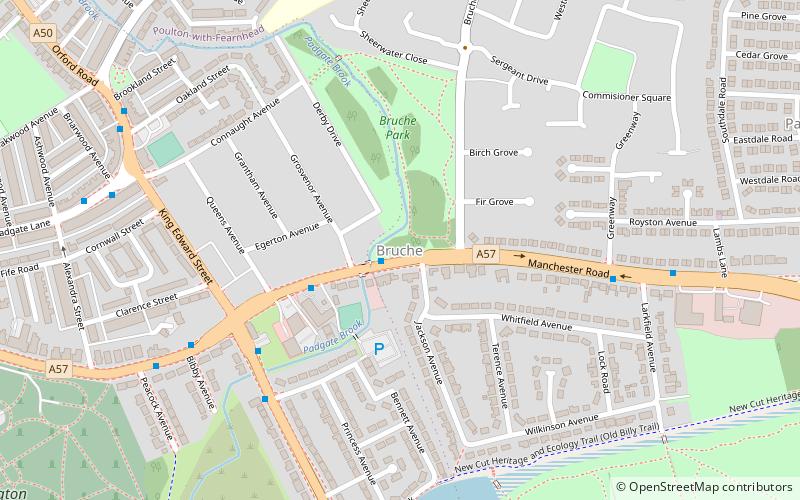
Nearby attractions include: Woolston Park, Birchwood Forest Park, Woolston Eyes, Bruche.
Frequently Asked Questions (FAQ)
How to get to Warrington by public transport?
The nearest stations to Warrington:
Bus
Train
Bus
- Medical Centre • Lines: 4 (13 min walk)
- Greymist Avenue • Lines: 100, 3 (16 min walk)
Train
- Padgate (16 min walk)
- Birchwood (21 min walk)


