Birchwood Forest Park, Warrington
Map

Map

Facts and practical information
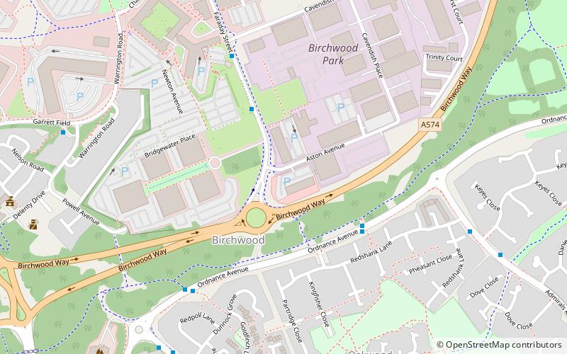
Birchwood Forest Park covers the area formerly occupied by the Royal Ordnance Factory, ROF Risley, in Birchwood, Warrington, in north-west England. The park covers an area of 500 acres and stretches from the M6 in the west to the M62, junction 11, in the east. ()
Elevation: 75 ft a.s.l.Coordinates: 53°25'23"N, 2°31'16"W
Address
Warrington
ContactAdd
Social media
Add
Day trips
Birchwood Forest Park – popular in the area (distance from the attraction)
Nearby attractions include: Rixton Clay Pits, Risley Moss, St Werburgh's Church, St Elphin's Church.
Frequently Asked Questions (FAQ)
How to get to Birchwood Forest Park by public transport?
The nearest stations to Birchwood Forest Park:
Train
Train
- Birchwood (19 min walk)


