Thornton Heath, London
Map

Gallery

Facts and practical information
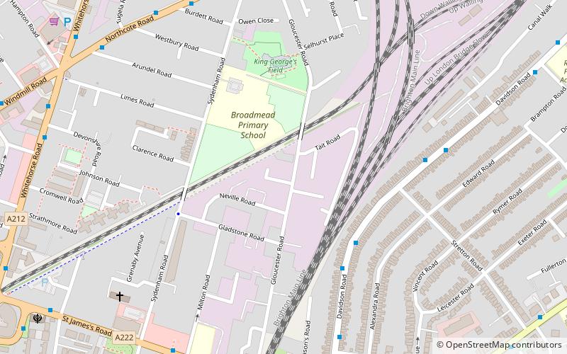
Thornton Heath is a district of Greater London, England, within the London Borough of Croydon. It is around 1.5 miles north of the town of Croydon, and 7.2 miles south of Charing Cross. Prior to the creation of Greater London in 1965, Thornton Heath was in the administrative county of Surrey. ()
Day trips
Thornton Heath – popular in the area (distance from the attraction)
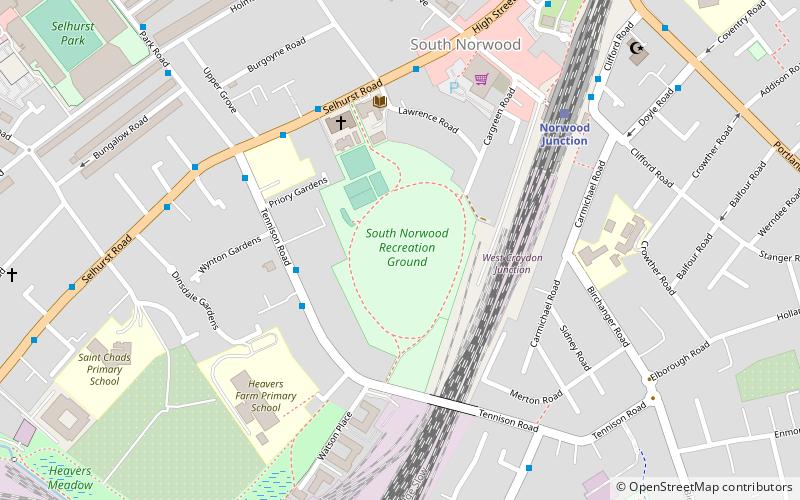
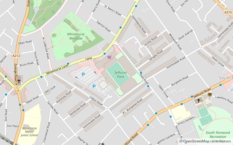
Nearby attractions include: Selhurst Park, Croydon Mosque, South Norwood Recreation Ground, Holmesdale Fanatics.
Frequently Asked Questions (FAQ)
Which popular attractions are close to Thornton Heath?
Nearby attractions include Queen's Road Cemetery, London (20 min walk), Croydon Mosque, London (20 min walk), Holmesdale Fanatics, London (24 min walk).
How to get to Thornton Heath by public transport?
The nearest stations to Thornton Heath:
Bus
Train
Tram
Bus
- Sandfield Road • Lines: 50 (4 min walk)
- Brook Road • Lines: 50 (5 min walk)
Train
- Thornton Heath (8 min walk)
- Selhurst (25 min walk)
Tram
- Therapia Lane • Lines: 2, 4 (36 min walk)

 Tube
Tube


