Queen's Road Cemetery, London
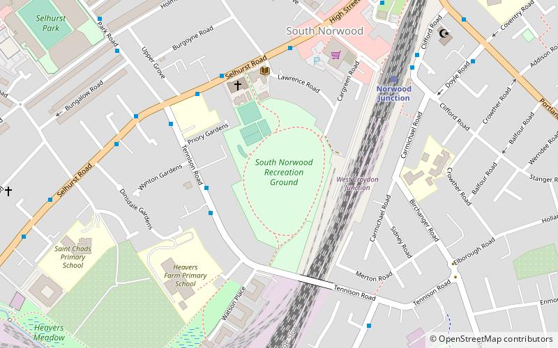
Map

Gallery

Facts and practical information
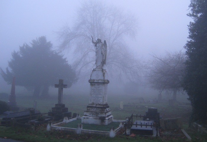
Queen's Road Cemetery is a cemetery in Croydon, England. It opened in 1861, and was followed in 1897 by the larger Croydon Cemetery in Mitcham Road. Both cemeteries are now managed by the London Borough of Croydon. ()
Established: 1861 (165 years ago)Graves: 50 thous.Coordinates: 51°23'24"N, 0°5'60"W
Day trips
Queen's Road Cemetery – popular in the area (distance from the attraction)
Nearby attractions include: Selhurst Park, St George's Walk, Whitgift Centre, Centrale.
Frequently Asked Questions (FAQ)
Which popular attractions are close to Queen's Road Cemetery?
Nearby attractions include Croydon Mosque, London (15 min walk), Saffron Square, Warlingham (19 min walk), Thornton Heath, London (20 min walk), Lunar House, Warlingham (21 min walk).
How to get to Queen's Road Cemetery by public transport?
The nearest stations to Queen's Road Cemetery:
Bus
Train
Tram
Bus
- Queens Road Cemetery • Lines: 450 (5 min walk)
- Beaconsfield Road / Legacy Youth Zone • Lines: 468, 50, N68, X68 (6 min walk)
Train
- Selhurst (13 min walk)
- Thornton Heath (16 min walk)
Tram
- West Croydon • Lines: 2, 3, 4 (20 min walk)
- Centrale • Lines: 2, 3, 4 (26 min walk)

 Tube
Tube


