Turf Moor, Burnley
Map
Gallery

Facts and practical information
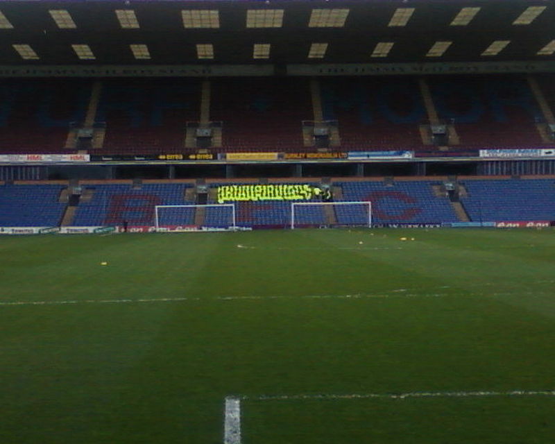
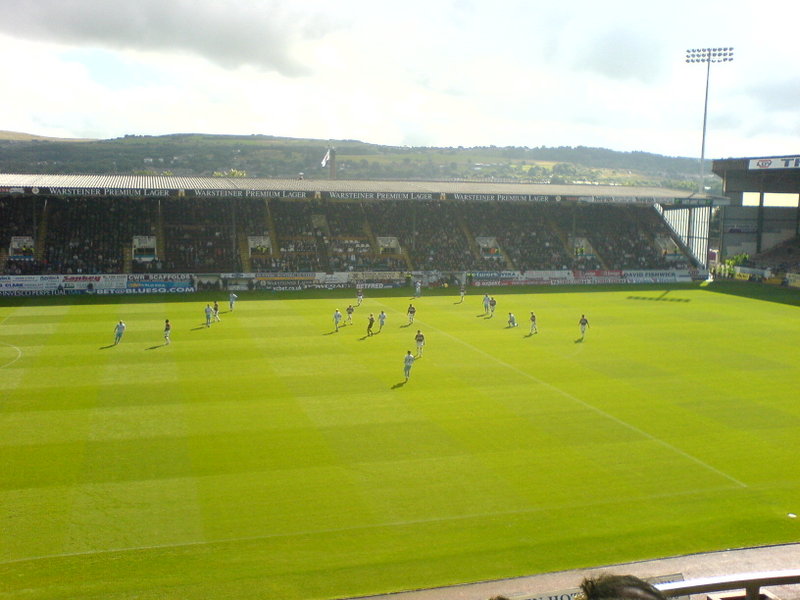
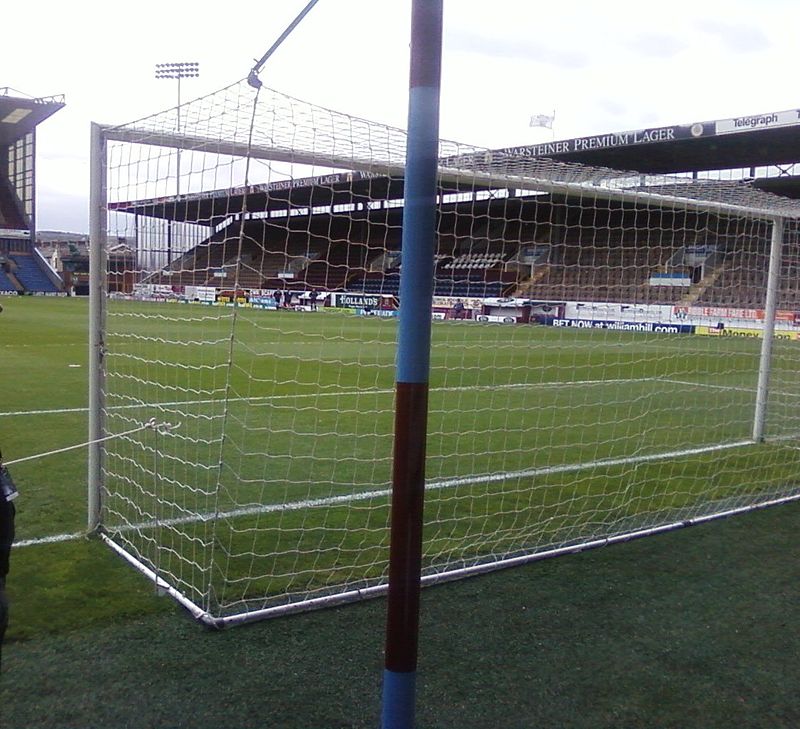
Turf Moor is an association football stadium in Burnley, Lancashire, England, which has been the home of Burnley F.C. since 1883. This unbroken service makes Turf Moor the second-longest continuously used ground in English professional football. The stadium is situated on Harry Potts Way, named after the manager who won the 1959–60 First Division with the club, and has a capacity of 21,944. ()
Day trips
Turf Moor – popular in the area (distance from the attraction)
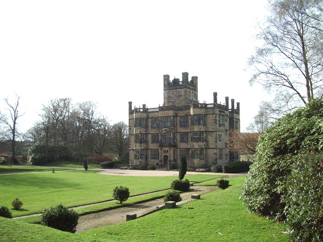
Nearby attractions include: Towneley Hall, Burnley Way, Weavers' Triangle, Burnley Town Hall.
Frequently Asked Questions (FAQ)
Which popular attractions are close to Turf Moor?
Nearby attractions include Church of St Mary of the Assumption, Burnley (6 min walk), Burnley Embankment, Burnley (8 min walk), St Peter's Church, Burnley (12 min walk), Burnley Wood, Burnley (13 min walk).
How to get to Turf Moor by public transport?
The nearest stations to Turf Moor:
Bus
Train
Bus
- The Wellington • Lines: 3, 4 (4 min walk)
- Blakey Street • Lines: 2 (4 min walk)
Train
- Burnley Central (18 min walk)
- Burnley Manchester Road (21 min walk)


