Beechwood Park, Edinburgh
Map
Facts and practical information
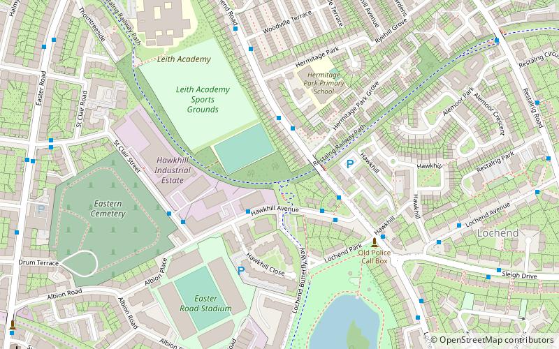
Beechwood Park, initially known as Bank Park, was a football ground in the Leith area of Edinburgh, Scotland. It was the home ground of Leith Athletic during their first seven seasons in the Scottish Football League. ()
Coordinates: 55°57'50"N, 3°9'46"W
Address
LeithEdinburgh
ContactAdd
Social media
Add
Getting there by public transportation
Public transportation stops near this location
- Bus
- Tram
- Train
 Bus
Bus
- Calculate routeHermitage Park Grove 2 min walk
- Calculate routeWoodville Terrace 5 min walk
- Calculate routeLochend Castle Barns 6 min walk
- Calculate routeSt Andrew Square 34 min walk
- Calculate routeEdinburgh Waverley 35 min walk
Day trips


Frequently Asked Questions (FAQ)
Which popular attractions are close to Beechwood Park?
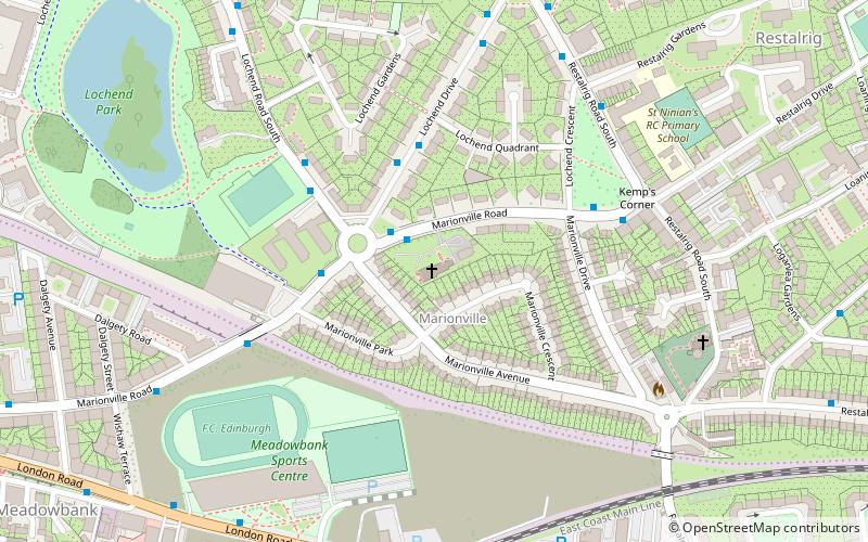
Nearby attractions include Easter Road Stadium, Edinburgh (5 min walk), Lochend Park, Edinburgh (7 min walk), Lochend Castle, Edinburgh (8 min walk), Easter Road, Edinburgh (9 min walk).
How to get to Beechwood Park by public transport?
The nearest stations to Beechwood Park:
Bus
Tram
Train
Bus
- Hermitage Park Grove • Lines: 49 (2 min walk)
- Woodville Terrace • Lines: 49 (5 min walk)
Tram
- St Andrew Square • Lines: Edinburgh Trams Eastbound, Edinburgh Trams Westbound (34 min walk)
Train
- Edinburgh Waverley (35 min walk)