Warter Priory
Map

Map

Facts and practical information
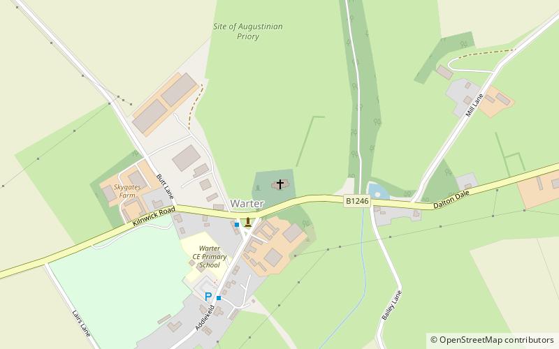
Warter Priory was built by the Pennington family of Muncaster Castle in the late 17th century. Originally named Warter Hall, it was renamed Warter Priory following extensive Victorian redevelopment. It is not to be confused with the medieval monastic priory, the site of which lies north of St. James' Church at Warter in the East Riding of Yorkshire, England. The house stood one mile south-west of the village and was demolished in 1972, the rubble being used to fill the lake in the extensive gardens. ()
Coordinates: 53°56'34"N, 0°40'34"W
Location
England
ContactAdd
Social media
Add
Day trips
Warter Priory – popular in the area (distance from the attraction)
Nearby attractions include: Hudson Way, Burnby Hall Gardens, Church of All Saints, St James' Church.


