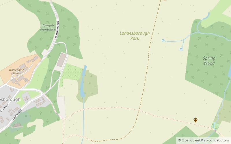
Trek Zone

Londesborough Hall

#4224 among destinations in the United Kingdom

Park, Relax in park
Londesborough Hall location map
Map

Facts and practical information

Elevation: 236 ft a.s.l.Coordinates: 53°53'59"N, 0°40'20"W
Location

EnglandUnited Kingdom

Contact
Social media
Day trips

Londesborough Hall – popular in the area (distance from the attraction)

Nearby attractions include: Hudson Way, Burnby Hall Gardens, Church of All Saints, St James' Church.

  • hudson way market weighton2.4 miS
  • burnby hall gardens pocklington4.6 miNW
  • church of all saints pocklington4.9 miNW
  • st james church3 miN
  • pocklington arts centre4.8 miNW
  • warter priory3 miN
  • pocklington iron age burial ground location map
    4.3 miNW
  • ss mary everilda4.7 miSW
  • rifle butts quarry2.4 miSE

Where to next? Visit england England region page or discover the top tourist attractions in United Kingdom.