Hudson Way, Market Weighton
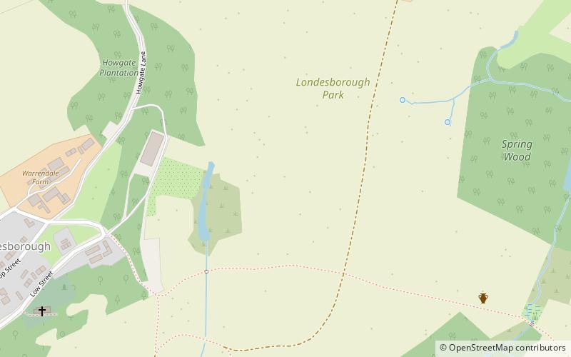
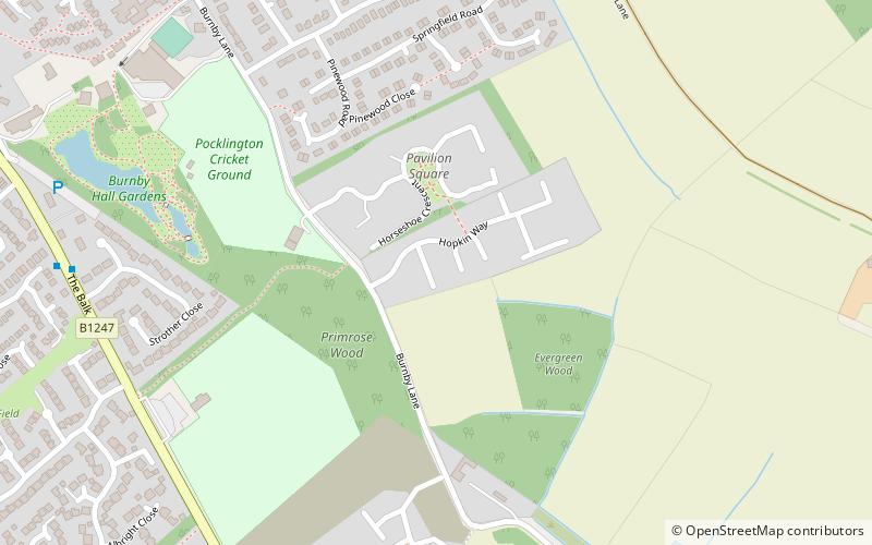
Map
Gallery
Facts and practical information
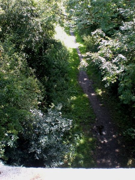
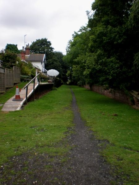
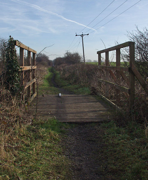
The Hudson Way is a 10 miles walking and cycling route in the East Riding of Yorkshire, England. The route follows a disused railway line between the market towns of Market Weighton and Beverley. ()
Length: 10.3 miMaximum elevation: 60 ftCoordinates: 53°51'55"N, 0°40'6"W
Address
Market Weighton
ContactAdd
Social media
Add
Day trips
Hudson Way – popular in the area (distance from the attraction)
Nearby attractions include: Burnby Hall Gardens, Church of All Saints, St James' Church, North Cave Wetlands.


