Manifold Way, Peak District

Gallery (2)
Map
Map
Gallery
Facts and practical information
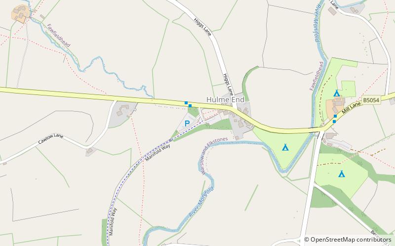
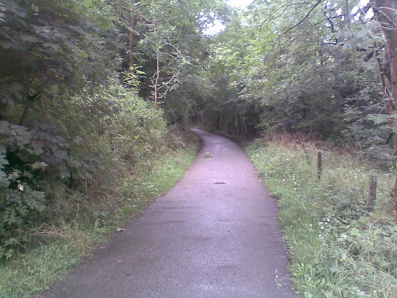
The Manifold Way is a footpath and cycle way in Staffordshire, England. Some 8 miles in length, it runs from Hulme End (53.1307°N 1.8480°W / 53.1307; -1.8480) in the north to Waterhouses (53.0480°N 1.8654°W / 53.0480; -1.8654) in the south, mostly through the Manifold Valley and the valley of its only tributary, the River Hamps, following the route of the former Leek and Manifold Valley Light Railway, a 2 ft 6 in gauge line which closed in 1934 after a short life. ()
Coordinates: 53°7'51"N, 1°50'53"W
Address
Peak District
ContactAdd
Social media
Add
Getting there by public transportation
Public transportation stops near this location
- Bus
 Bus
Bus
- Calculate routeVisitor Centre 2 min walk
Day trips


Frequently Asked Questions (FAQ)
How to get to Manifold Way by public transport?
The nearest stations to Manifold Way:
Bus
Bus
- Visitor Centre • Lines: X71 (2 min walk)