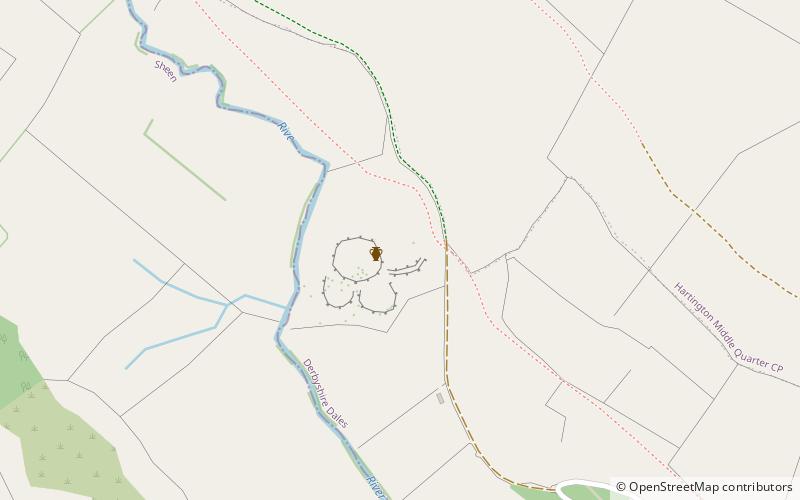
Pilsbury Castle, Peak District
#57 among attractions in Peak District


Facts and practical information
Pilsbury Castle was a Norman castle in Derbyshire near the present-day village of Pilsbury, overlooking the River Dove. ()
Pilsbury Castle – popular in the area (distance from the attraction)
Nearby attractions include: High Peak Trail, Tissington Trail, Manifold Way, Arbor Low.
 Hiking, Hiking trail
High Peak Trail
61 min walk • The High Peak Trail is a 17-mile trail for walkers, cyclists and horse riders in the Peak District of England.
 Hiking, Hiking trail
Tissington Trail, Peak District
51 min walk • The Tissington Trail is a bridleway, footpath and cycleway in Derbyshire, England, along part of the trackbed of the former railway line connecting Ashbourne to Buxton. It takes its name from the village of Tissington, which it skirts.
 Hiking, Hiking trail
Manifold Way, Peak District
75 min walk • The Manifold Way is a footpath and cycle way in Staffordshire, England. Some 8 miles in length, it runs from Hulme End in the north to Waterhouses in the south, mostly through the Manifold Valley and the valley of its only tributary, the River Hamps, following the route of the...
 Archaeological site
Arbor Low, Peak District
73 min walk • Arbor Low is a well-preserved Neolithic henge in the Derbyshire Peak District, England. It lies on a Carboniferous Limestone plateau known as the White Peak area. The monument consists of a stone circle surrounded by earthworks and a ditch.
 Nature, Natural attraction, Mountain
Chrome Hill, Peak District
89 min walk • Chrome Hill is a limestone reef knoll in Derbyshire, England, in the upper Dove valley beside the border with Staffordshire. It is adjacent to Parkhouse Hill, another reef knoll. Chrome Hill was declared open access land under the provisions of the Countryside and Rights of Way Act 2000.
 Mountain
High Edge, Peak District
113 min walk • High Edge is a limestone hill overlooking Harpur Hill, Buxton in Derbyshire, in the Peak District. The summit is 472 metres above sea level. The lower hilltop is marked by a cairn. Following the Countryside and Rights of Way Act 2000, this hilltop area became "Open Access" land for the public.
 Nature, Natural attraction, Mountain
Parkhouse Hill, Peak District
74 min walk • Parkhouse Hill is a small but distinctive hill in the Peak District National Park in the English county of Derbyshire. It lies on the north side of the River Dove, close to the border with Staffordshire.
 Hiking, Hiking trail
Limey Way, Peak District
99 min walk • The Limey Way is a 65-kilometre challenge walk through Derbyshire, England. It starts at Castleton and progresses through 15 major and 5 minor limestone dales to reach the River Dove and Dovedale, the walk's end.
 Valley
Cales Dale, Peak District
95 min walk • Cales Dale is a short valley towards the head of Lathkill Dale near Monyash, Derbyshire in the Peak District of England. Cales Dale is included within Lathkill Dale as part of the Derbyshire Dales National Nature Reserve and is popular with tourists who visit for its natural environment and wildlife.
 Nature, Natural attraction, Mountain
High Wheeldon, Peak District
42 min walk • High Wheeldon is a distinctive dome-shaped hill near the Staffordshire border in Derbyshire, in the Peak District valley of Upper Dovedale, overlooking the villages of Earl Sterndale, Longnor and Crowdecote.
 Memorial
Magpie Mine, Peak District
117 min walk • Magpie Mine is a well-preserved disused lead mine near the village of Sheldon in Derbyshire, England, in the parish of Ashford in the Water. The walled enclosure of five lead mines is a protected Scheduled Monument. Mid-Derbyshire has a history of industrial lead mining going back to Roman times.
