Walsall Arboretum, Walsall
Map

Map

Facts and practical information
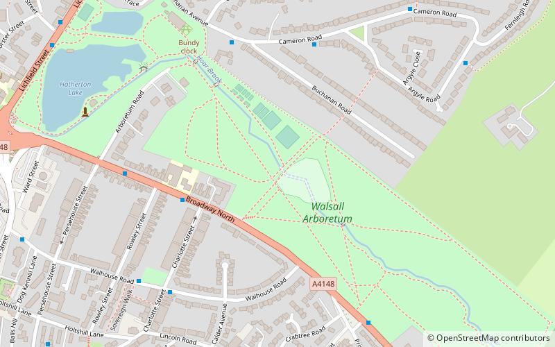
Walsall Arboretum is a Victorian public park located close to Walsall town centre in the West Midlands of England. Part of the park and surrounding housing are covered by the Arboretum conservation area. In the early 2010s, the park has undergone a major restoration and redevelopment programme funded largely by the Heritage Lottery Fund. ()
Created: 1874Coordinates: 52°35'17"N, 1°58'1"W
Day trips
Walsall Arboretum – popular in the area (distance from the attraction)
Nearby attractions include: Saddlers Centre, The New Art Gallery Walsall, Walsall Town Hall, Walsall Council House.
Frequently Asked Questions (FAQ)
Which popular attractions are close to Walsall Arboretum?
Nearby attractions include Walsall Central Library, Walsall (14 min walk), Walsall Museum, Walsall (14 min walk), Walsall Council House, Walsall (15 min walk), Walsall Town Hall, Walsall (15 min walk).
How to get to Walsall Arboretum by public transport?
The nearest stations to Walsall Arboretum:
Bus
Train
Bus
- Ablewell St / Watering Trough • Lines: 700 (12 min walk)
- Wg • Lines: 700 (14 min walk)
Train
- Walsall (21 min walk)


