Stoke St Michael's Church, Coventry
Gallery (3)
Map
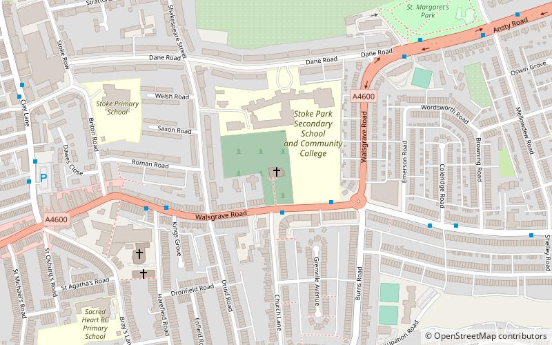
Map
Gallery
Facts and practical information
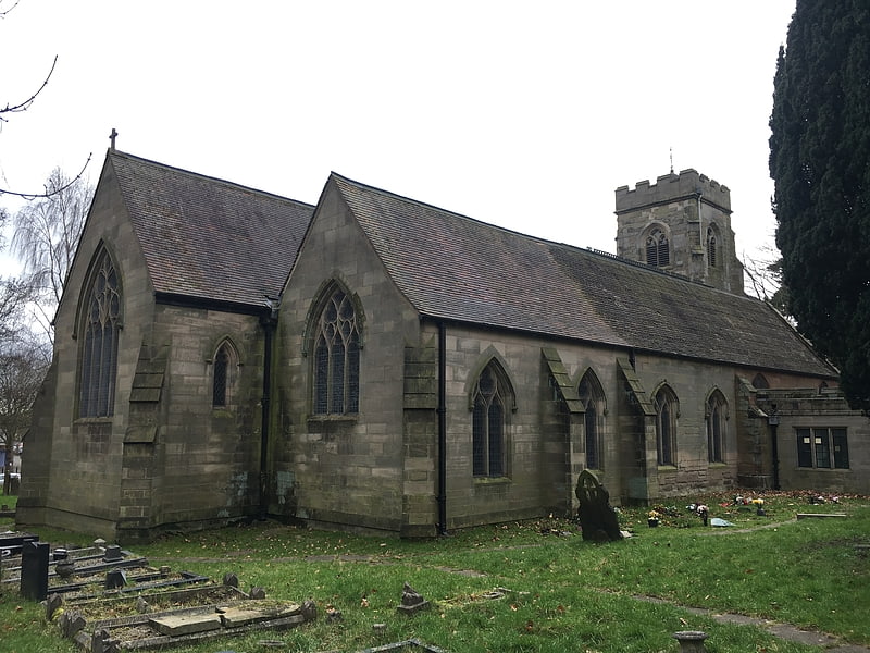
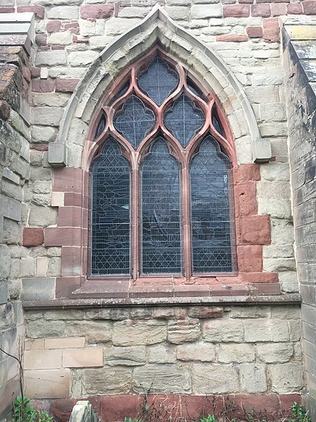
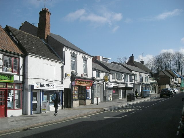
Stoke St Michael's is the Church of England parish church of Stoke, Coventry which continues to serve as a place of worship in the community since its foundation in the 12th century by the Earl of Chester. The church is situated on the Walsgrave Road east of Coventry city centre. ()
Coordinates: 52°24'43"N, 1°28'30"W
Address
North East Coventry (Upper Stoke)Coventry
ContactAdd
Social media
Add
Getting there by public transportation
Public transportation stops near this location
- Bus
 Bus
Bus
- Calculate routeWalsgrave Rd / Burns Rd 2 min walk
- Calculate routeLongfellow Rd / Coleridge Rd 6 min walk
- Calculate routeAnsty Rd / Dane Rd 7 min walk
Day trips


Frequently Asked Questions (FAQ)
Which popular attractions are close to Stoke St Michael's Church?
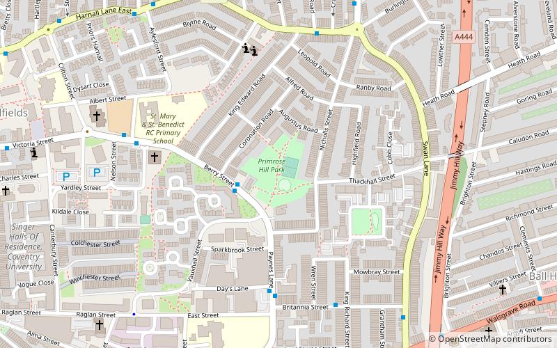
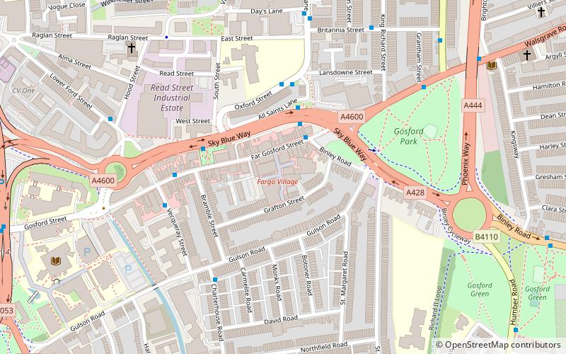
Nearby attractions include Gosford Park Children's Centre, Coventry (18 min walk), Primrose Hill Park, Coventry (20 min walk).
How to get to Stoke St Michael's Church by public transport?
The nearest stations to Stoke St Michael's Church:
Bus
Bus
- Walsgrave Rd / Burns Rd • Lines: 17, 17A, 8, 85A, 9, X30 (2 min walk)
- Longfellow Rd / Coleridge Rd • Lines: 17, 17A (6 min walk)