Higger Tor, Peak District
Map

Gallery

Facts and practical information
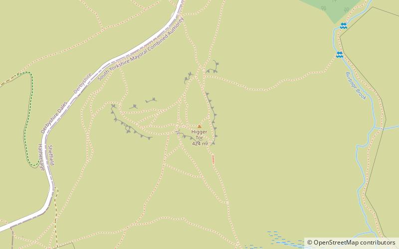
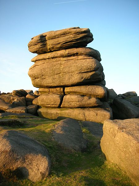
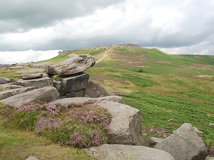
Higger Tor or Higgar Tor is a gritstone tor in the Dark Peak, in the north of the Peak District National Park in England. It overlooks the Burbage Valley and the Iron Age hill fort of Carl Wark to the southeast. ()
Elevation: 1424 ftCoordinates: 53°20'2"N, 1°36'56"W
Address
Peak District
ContactAdd
Social media
Add
Day trips
Higger Tor – popular in the area (distance from the attraction)
Nearby attractions include: Stanage Edge, Sandygate Road, Carl Wark, Padley Gorge.
Frequently Asked Questions (FAQ)
How to get to Higger Tor by public transport?
The nearest stations to Higger Tor:
Bus
Bus
- Hathersage Road/Burbage Bridge • Lines: 271, 272 (24 min walk)
- Surprise View • Lines: 271, 272 (31 min walk)


