Hulme Arch Bridge, Manchester
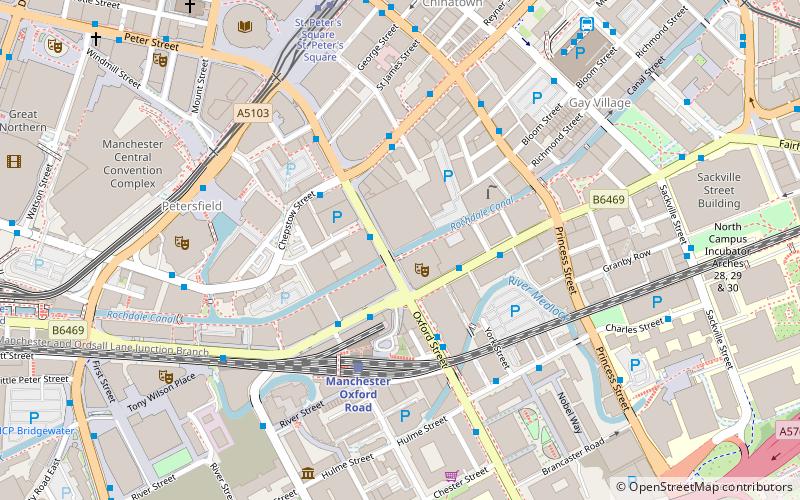
Map

Gallery

Facts and practical information
The Hulme Arch Bridge in Hulme, Manchester, England, supports Stretford Road as it passes over Princess Road, and is located at grid reference SJ838968. The construction of the bridge formed part of the regeneration of the Hulme district of Manchester, both by re-establishing the former route of Stretford Road, which had been cut into two halves by the construction of Princess Road in 1969, and by providing a local landmark. The location was previously occupied by a footbridge. ()
Opened: 10 May 1997 (28 years ago)Length: 171 ftWidth: 59 ftHeight: 82 ftCoordinates: 53°28'5"N, 2°14'45"W
Address
HulmeManchester
ContactAdd
Social media
Add
Day trips
Hulme Arch Bridge – popular in the area (distance from the attraction)
Nearby attractions include: The Briton's Protection, Manchester Aquatics Centre, Manchester Museum, Bridgewater Hall.
Frequently Asked Questions (FAQ)
Which popular attractions are close to Hulme Arch Bridge?
Nearby attractions include Hulme, Manchester (5 min walk), Hulme Hippodrome, Manchester (6 min walk), Hulme Park, Manchester (7 min walk), Laura Seddon Greeting Card Collection, Manchester (9 min walk).
How to get to Hulme Arch Bridge by public transport?
The nearest stations to Hulme Arch Bridge:
Bus
Train
Tram
Bus
- Stretford Road/Royce Road • Lines: 53 (3 min walk)
- Booth St West/Cambridge St • Lines: 53 (7 min walk)
Train
- Manchester Oxford Road (11 min walk)
- Deansgate (13 min walk)
Tram
- Deansgate-Castlefield • Lines: Airp, Altr, Asht, Bury, Dean, Eccl, EDid, Mcuk, Picc, Roch, Shaw, Vict (13 min walk)
- St. Peter's Square • Lines: Airp, Altr, Asht, Bury, Eccl, EDid, Mcuk, Picc, Roch, Shaw, Vict (19 min walk)

 Metrolink
 Metrolink / Rail


