Bache Hill

Gallery (1)
Map
Map
Facts and practical information
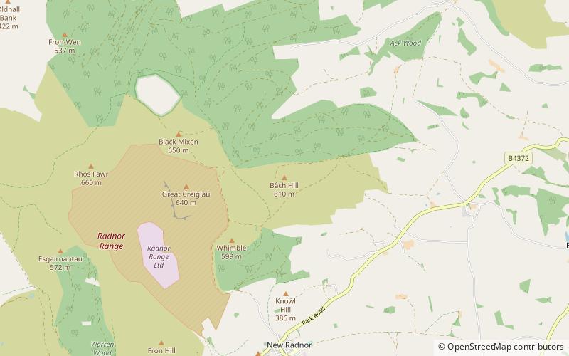
Bache Hill is a subsidiary summit of Rhos Fawr or Great Rhos, in the Radnor Forest in Wales. It is located to the east of Black Mixen. The summit is marked by a trig point built on an ancient burial mound, probably of Bronze Age date, like most of the summit cairns and round barrows in Wales. ()
Elevation: 2001 ftProminence: 135 ftCoordinates: 52°15'55"N, 3°9'12"W
Location
Wales
ContactAdd
Social media
Add
Day trips