West Loch Lomond Cycle Path, Tarbet

Gallery (2)
Map
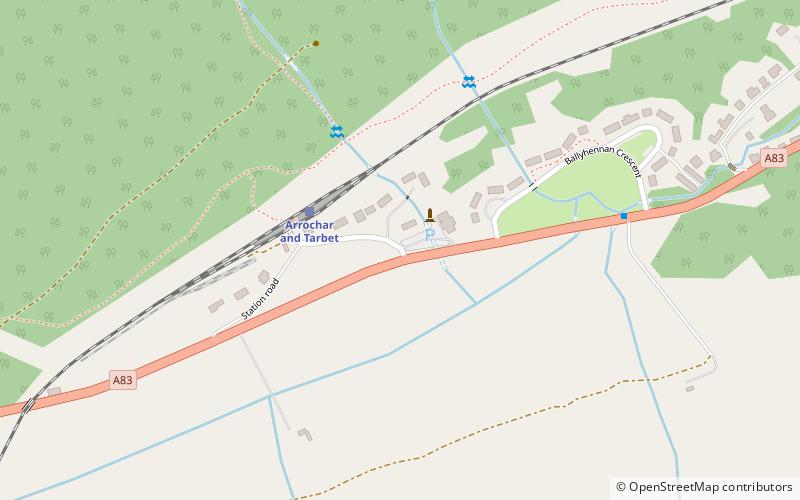
Map
Gallery
Facts and practical information
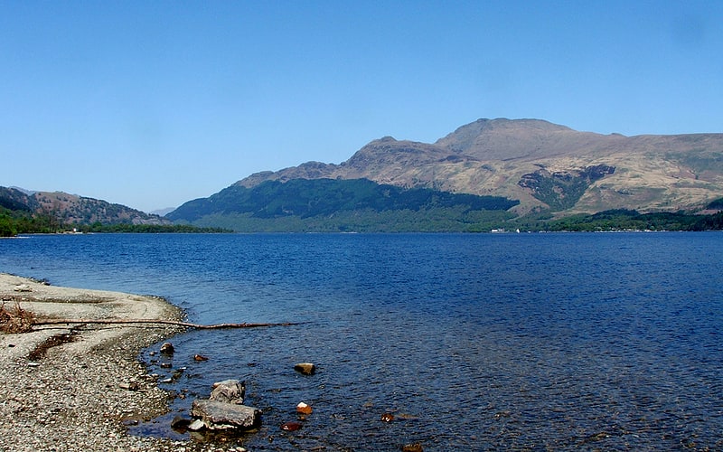
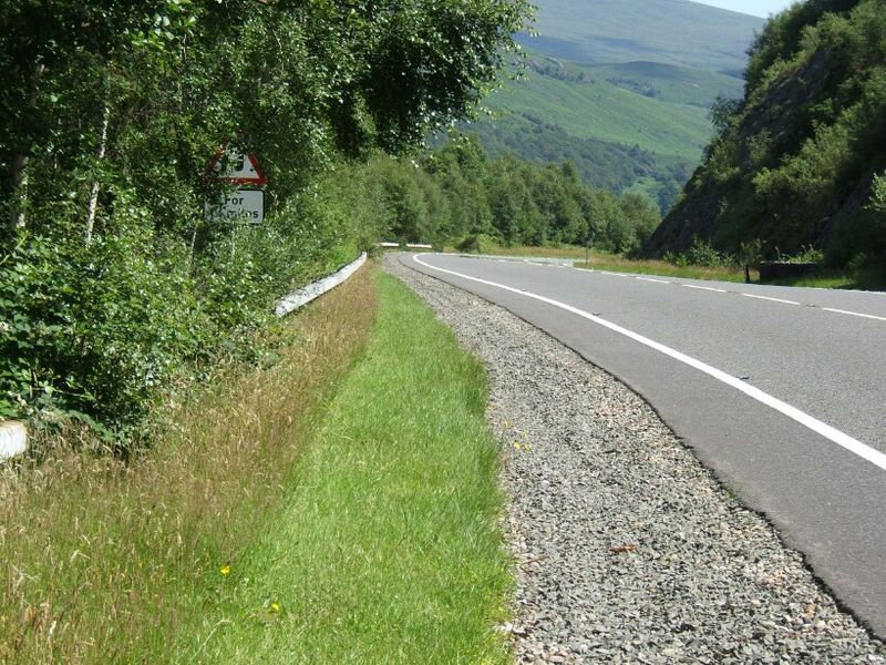
The West Loch Lomond Cycle Path is a cycle path that runs from Arrochar and Tarbet railway station, at the upper end of Loch Lomond in Scotland, to Balloch railway station, at the bottom of the loch. It was officially opened on 20 June 2006 by Tavish Scott. ()
Coordinates: 56°12'10"N, 4°43'16"W
Address
Tarbet
ContactAdd
Social media
Add
Day trips