Long Mountain
#5989 among destinations in the United Kingdom
![Long Mountain location map](https://tzmedia.b-cdn.net/media/images/static-maps/gb/52_65_-3_06667.jpg)
Facts and practical information
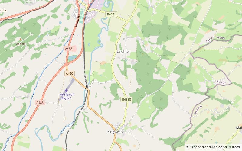
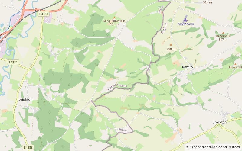
Long Mountain is a hill straddling the boundary between Powys and Shropshire to the east of Welshpool though the summit at 408 metres at Beacon Ring is within Wales. Long Mountain is a Marilyn, having a prominence of 305 metres. ()
WalesUnited Kingdom
Long Mountain plan & book
Unleash the traveler in you — discover the cheapest flight deals, find the perfect hotel or hostel nearby, and search for the best car rental prices. Travel at your own pace to discover new places and enjoy your journey.
Long Mountain – popular in the area (distance from the attraction)
Nearby attractions include: Powis Castle, Christ Church, Powysland Museum, Leighton Hall.
3.9 miWGarden, Museum, Forts and castlesPowis Castle, Welshpool
101 min walk • Powis Castle, a formidable medieval fortress in Welshpool, Wales, stands as a testament to the country's rich history and architectural heritage. This grand structure, dating back to the 13th century, was originally built by Welsh princes and has since been modified...
3.7 miWChurch, Romanesque architectureChrist Church, Welshpool
94 min walk • Christ Church, Welshpool was commissioned by the Earl of Powis to commemorate his son, Edward James, the Viscount Clive, having come of age. It was designed by Thomas Penson and completed 1839–44.
3.4 miW 2.6 miSWNature, Natural attraction, ForestLeighton Hall
67 min walk • Leighton Hall is an estate located to the east of Welshpool in the historic county of Montgomeryshire, now Powys, in Wales. Leighton Hall is a listed grade I property. It is located on the opposite side of the valley of the river Severn to Powis Castle.
7.2 miSEHiking, Hiking trailWild Edric's Way
184 min walk • Wild Edric's Way is a waymarked long distance footpath running wholly within the county of Shropshire in England. The path runs for 49 miles, mostly sharing the route of the Shropshire Way.
1.8 miSWChurchTrelystan
46 min walk • Trelystan is a remote parish and township on the border of the historic county of Montgomeryshire with Shropshire. Trelystan now forms part of the community of Forden, Leighton and Trelystan in Powys.
6.5 miSWForts and castlesHen Domen
167 min walk • Hen Domen Welsh, meaning "old mound", is the site of a medieval timber motte-and-bailey castle in Powys, Wales. It is the site of the original Montgomery Castle, and was built by Roger de Montgomery in 1070.
3.1 miNWMonasteryStrata Marcella
79 min walk • The Abbey of Strata Marcella was a medieval Cistercian monastery situated at Ystrad Marchell on the west bank of the River Severn near Welshpool, Powys, Wales.
4.9 miSEArchaeological siteStapeley Hill
126 min walk • Stapeley Hill is a sacred saddleback shaped hill in South-West Shropshire, near the village of Priestweston, not far from another landmark, Corndon Hill.
7.2 miSWBridgeCaerhowel Bridge
184 min walk • Caerhowel Bridge is a two-arch cast-iron, Grade II listed bridge over the River Severn, west of Caerhowel, Powys, Wales. The 6.6-metre-wide bridge was built on the site of a previous bridge which was possibly destroyed around the late 13th century.
5.2 miSMemorialMitchell's Fold
133 min walk • Mitchell's Fold is a Bronze Age stone circle in southwest Shropshire, located near the small village of White Grit on dry heathland at the southwest end of Stapeley Hill in the civil parish of Chirbury with Brompton, at a height of 1083 ft o.d.