Caw Fell, Lake District National Park
Map

Gallery

Facts and practical information
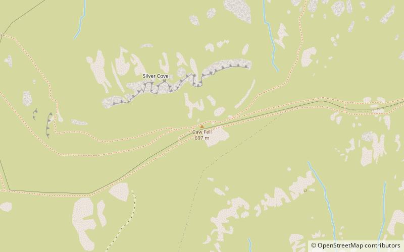
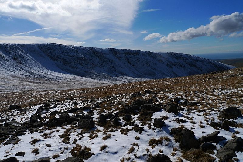
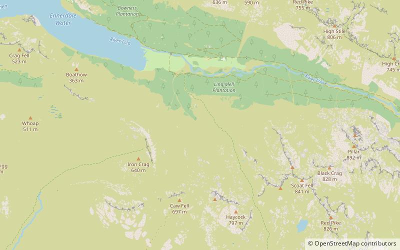
Caw Fell is a fell in the English Lake District, standing between Haycock the Lank Rigg group. It occupies a wide upland area with Ennerdale to the north and Blengdale to the south. Caw Fell is distant from any point of access by Lakeland standards, but can be climbed from Blengdale or Bowness Knott car-parks. ()
Coordinates: 54°29'12"N, 3°20'28"W
Address
Lake District National Park
ContactAdd
Social media
Add
Day trips
Caw Fell – popular in the area (distance from the attraction)
Nearby attractions include: Bleaberry Tarn, Ennerdale Water, Haycock, Scoat Fell.


